Monthly Archives: September 2013

Kayaking in the marshland in Hampton

Road map of kayak trip
Birds eye view of kayak trip

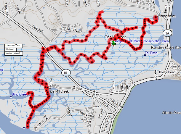
<li>Date traveled – Sept 20, 2013</li>
<li>length of trip – 7.1 miles</li>
<li>weather – clear, little breeze, about 70 degrees</li>
<li>Time on the water- 2.5 hours

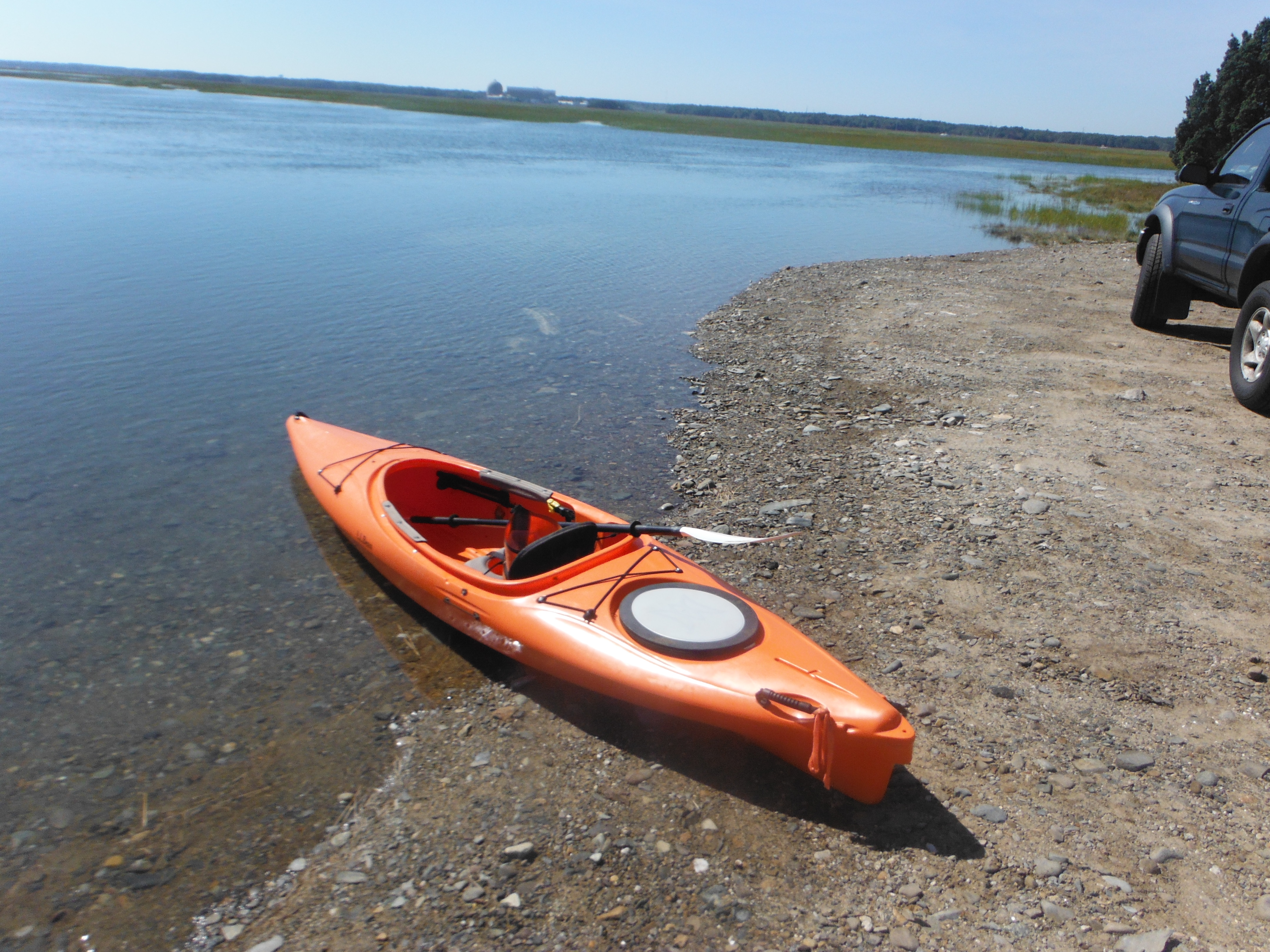
This is a trip that I have been hoping to take for a long time.  Usually the parking is full.  There is only enough parking for a few cars.  Thousands of cars drive past the  drop in point on a summer day.  It is located on route 101 just before reaching the beach.  Today there were no other cars.  I drove past the memorial for the Hampton marshland and parked as far from the water as possible.  The tide was still coming in and it was full moon which meant higher than normal high tide.  I put the kayak in the water and decided to go where the current was taking me.  Because the tide was still coming in the flow was away from the harbor.

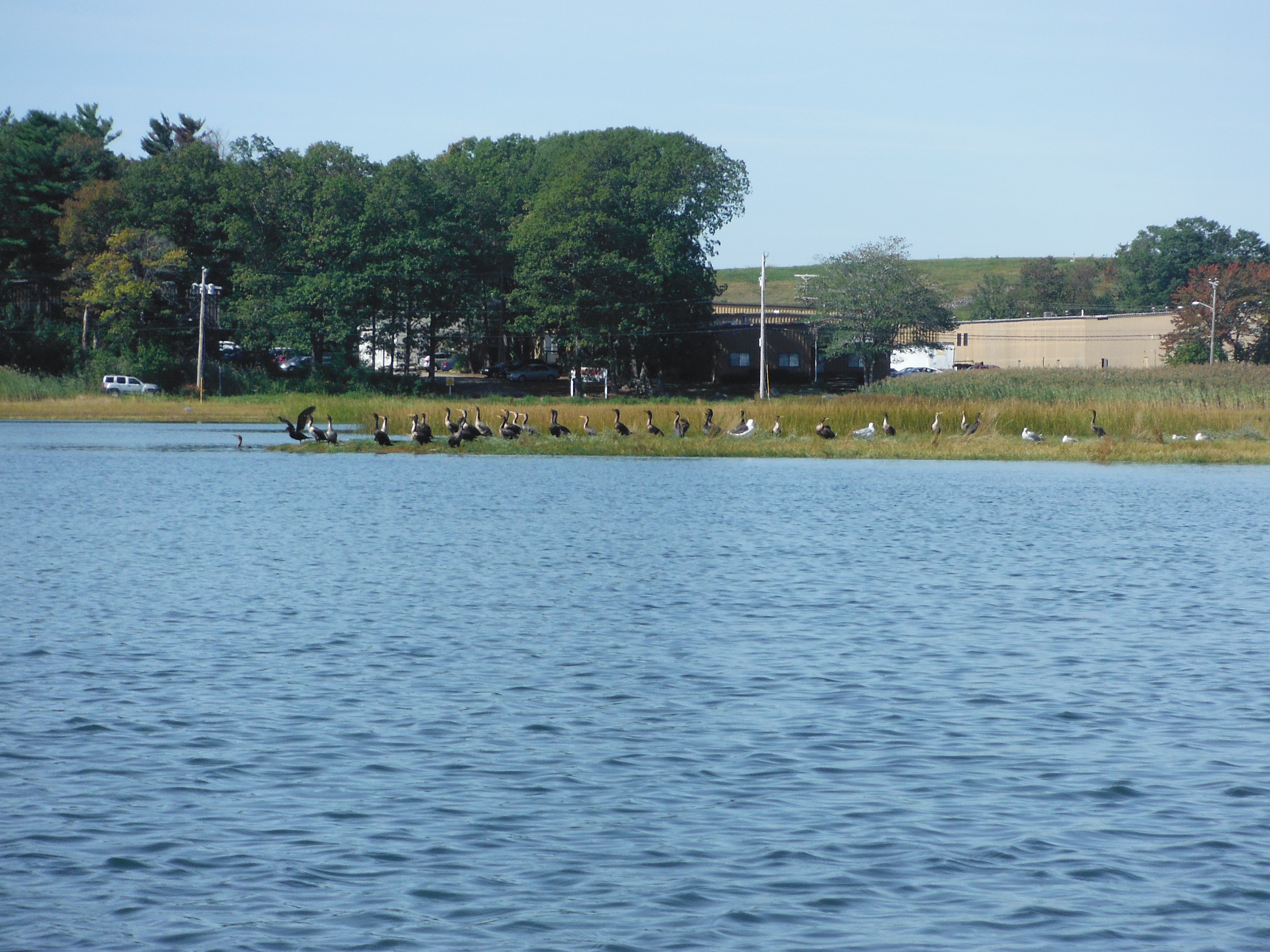
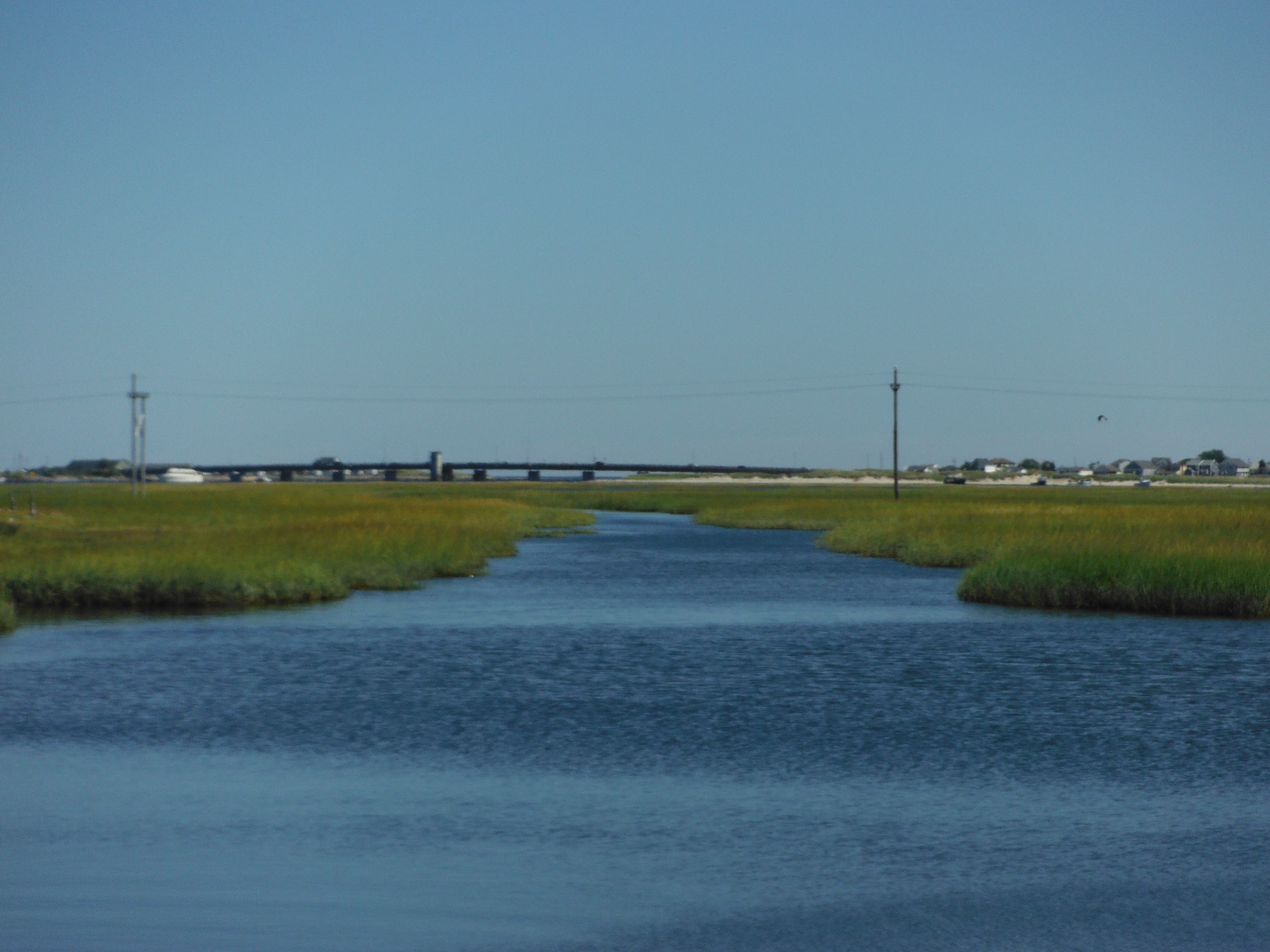
I went into the area between route 101 and Winnacunnet rd.  I was going in and out the different water inlets.  There were birds all around me.  Some of the birds I could not identify.  I did recognize blue herons, egrets, ducks,  Black Scoter , the illustrious seagull,  and other birds that I could not recognize.  The birds seem scared of my red kayak (red in the animal kingdom means danger).  The tide started going out and I was rowing against the current.  As I was closer to Winnacunnet Rd. the current got stronger.  I did not know there was a place for water to go out into the ocean on this side of the marshland. (opposite side away from the harbor).  It was strenuous going against the current.  I finally got to the point where I was rowing with the current.  I got to where the car was but decided to go further to the harbor.  The current became stronger as I near the harbor.  I felt that I was being pulled in.  I did not want to go into the harbor.  I rowed back to the car after one small detour.  As I saw the car I was glad that I parked where I did.  The rocks indicated the level of the water at high tide stopped short by about 6 inches before the water would have approached the car.  My arms were feeling it when I went ashore.  Like normal I felt like I just felt satisfied.

This slideshow requires JavaScript.


starting point
starting point
Birds on the shore
Birds on the shore

Marshland Kayaking in Seabrook

  • Date traveled – September 4, 2013
  • length of trip – 4.6 miles
  • weather – slight overcast, little breeze
  • Time on the water- 2 hours
A map of where I went
Birds eye view of the trip

I had a late start that day.  I was trying to figure out where to go.  I have been kayaking for over two years here and still so many places to try.  The decision was made to go to Seabrook at the end of Farm lane.  It was past high tide, but this has a fairly deep channel. When I got there it was beautiful.  I saw fields of marshland grass.  In the background was Hampton harbor with the Route 1A bridge.

I launched the boat.  Because the tide was going out, the current was dragging me to Hampton harbor.  I took a left instead to go up one of the channels.  There was a blue heron.   They are magnificent looking birds.    There on the left I saw a electric line pole.  An Eagle was on top of it.  I could not see what kind of eagle.   After going past the pole I continued up the channel for the longest time.  I took side channels to explore whenever possible.  There was a number of birds all around.  The birds includes other blue herons, sea ducks, terns, sparrows, seagulls, cormorants, etc…  I also saw a number of small fish in the water.    The channel in many places went as narrow as 10 feet wide.  I felt as if I was taking an African safari with the narrow  channel and the grass on both sides of me along with the birds.  Ungowa.     I came upon a bridge and easily went under it.  There on the left was the Seabrook elementary school.  The water channel continued on.    I reached another bridge when the water became too shallow to continue.  I turned around and headed back.  The tide that was fighting me is now helping me go back.  This allowed me to enjoy the scenery more, going fast enough only as needed to steer.  As I entered the more open water, I realized that I was lost.  The grass was tall enough to block my view.  I remember some of the landmarks U saw when I started and followed them back.  I finally came back to where I started. Click the mouse on the pictures below to see a close-up

Going down a channel
Bridge to elementary school
More of the marshland
An island in the marsh
Memorial at launching site

DSCF1747 DSCF1745