All posts by Warren

Kayaking on Blackwater River

72715blackwater

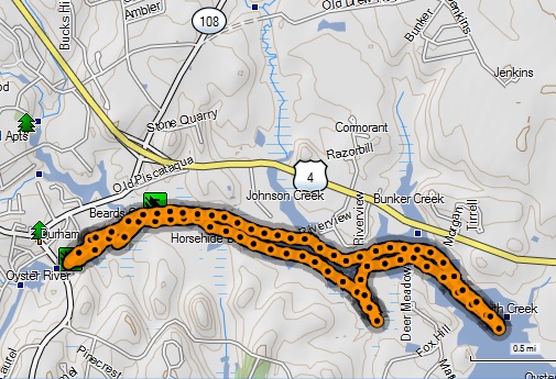
  • Date traveled – August 27, 2015
  • length of trip – 5.3 miles
  • weather – windy, about 80 degrees, high level clouds
  • Time on the water- 2.5 hours

It was late morning.  I had wanted to get there earlier but life got in the way.  The best time to get there is about an hour before high tide and it was already high tide.  Most of the tidal waters are navigable for at least 3 hours before and after high tide so I started.

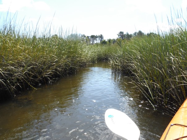
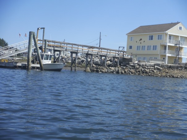
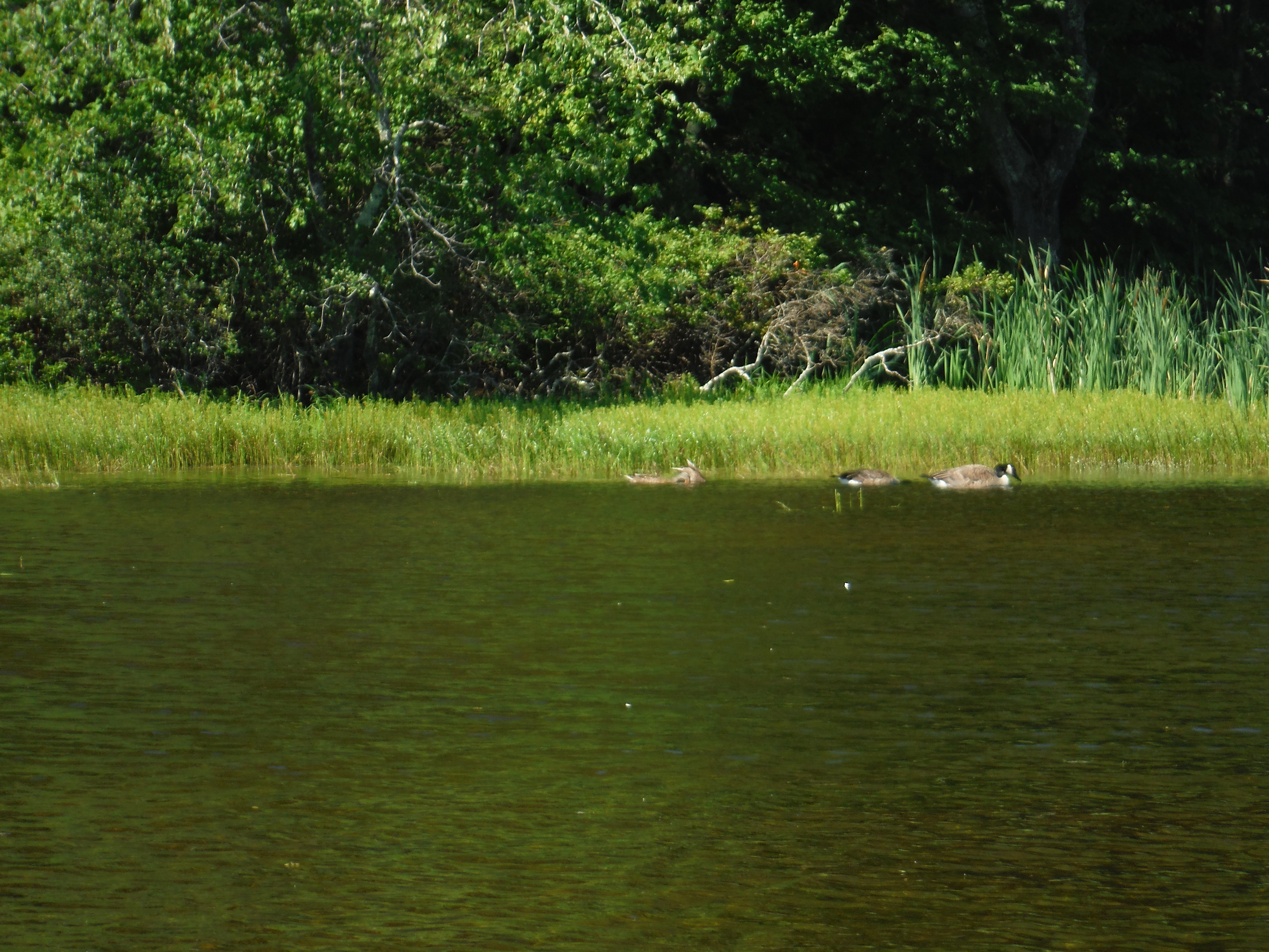
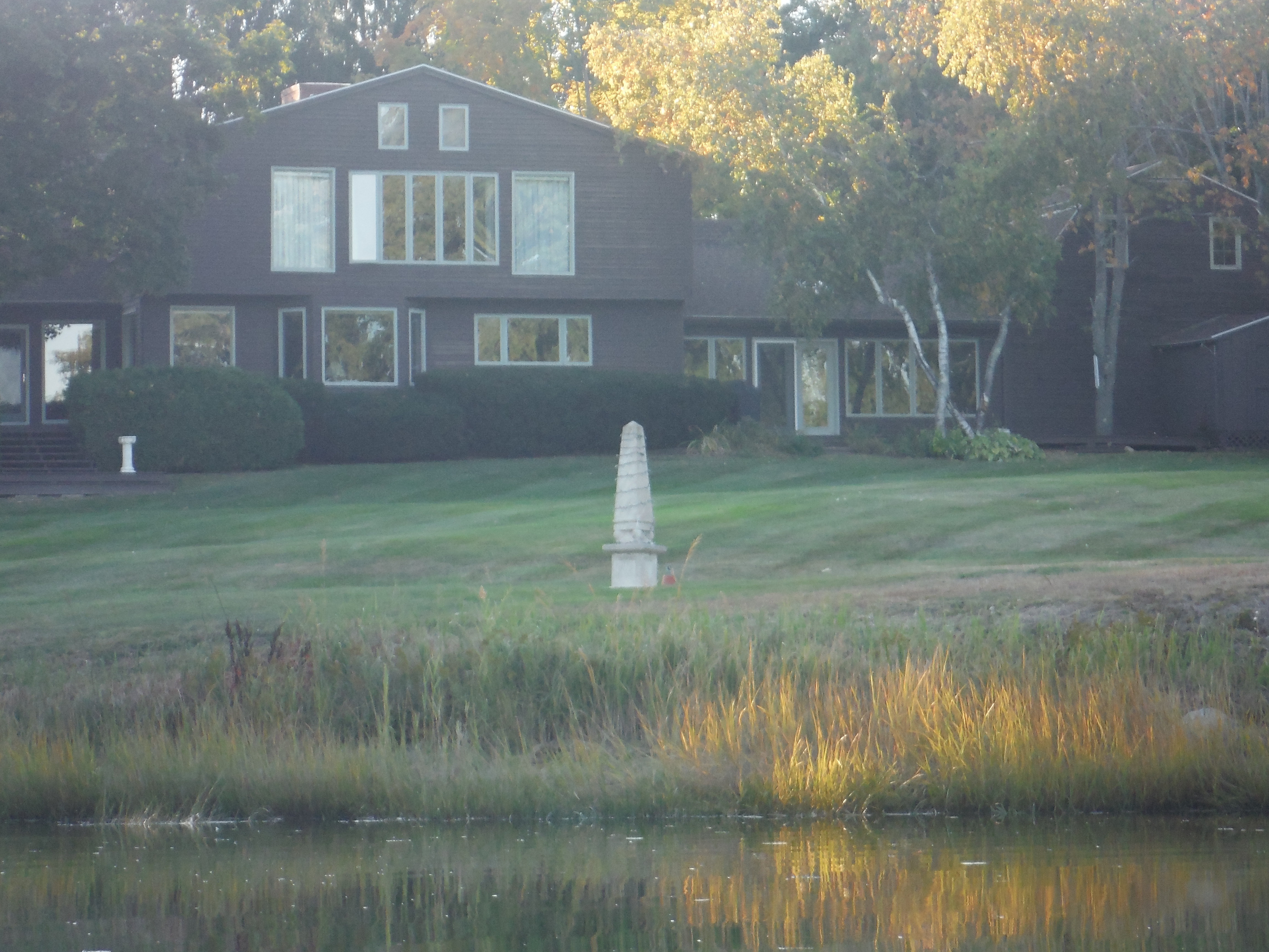
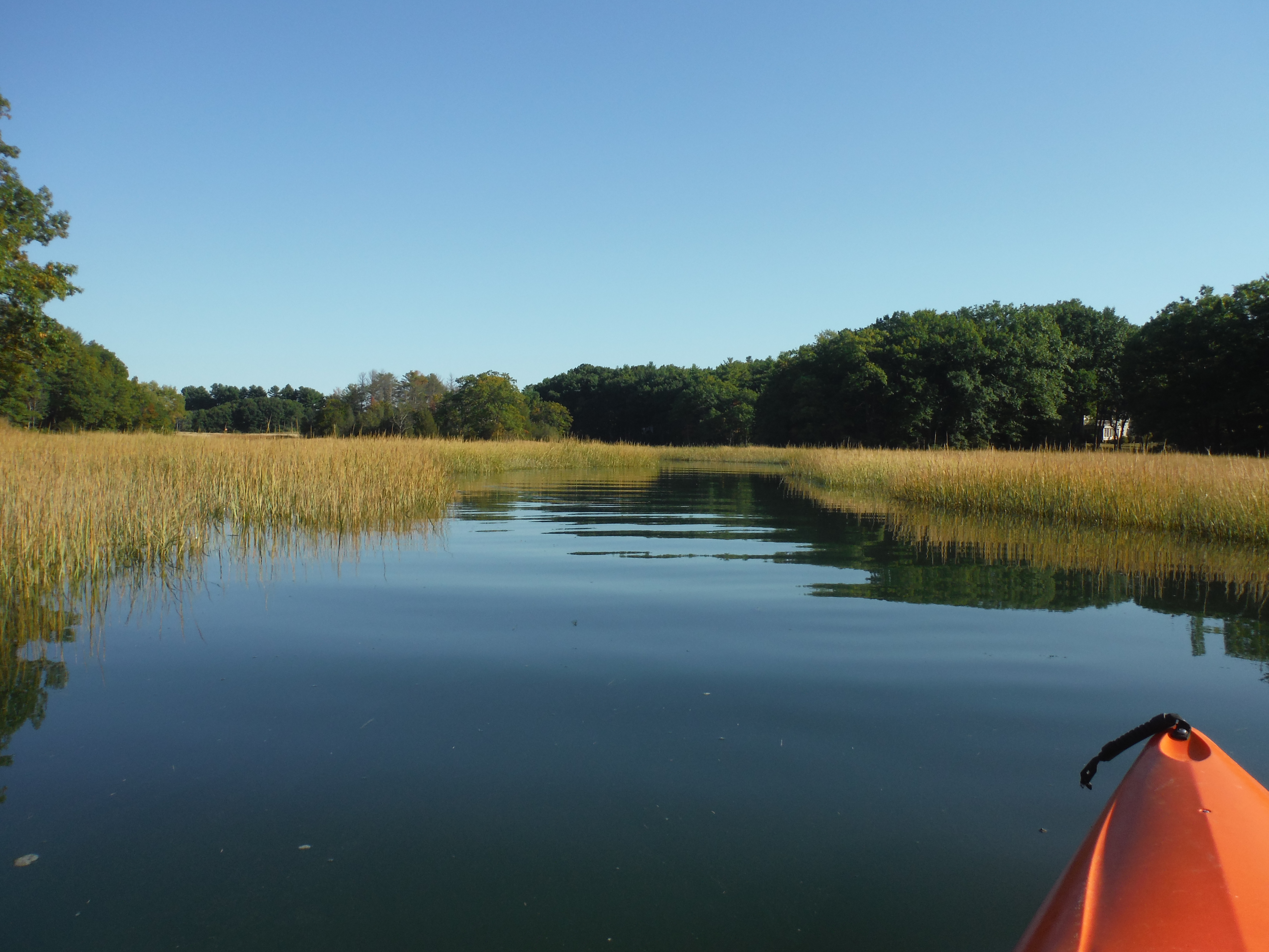
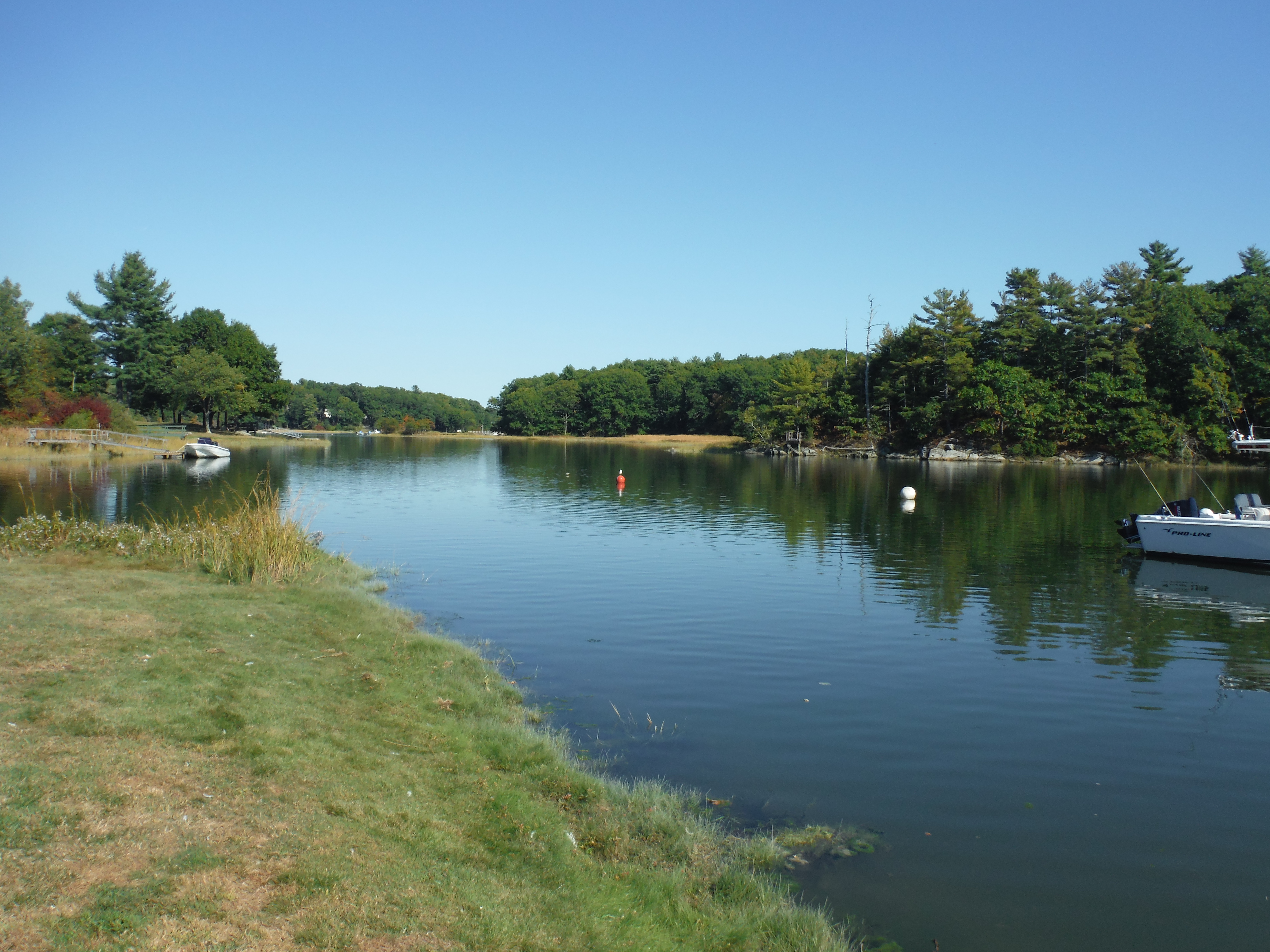
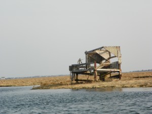
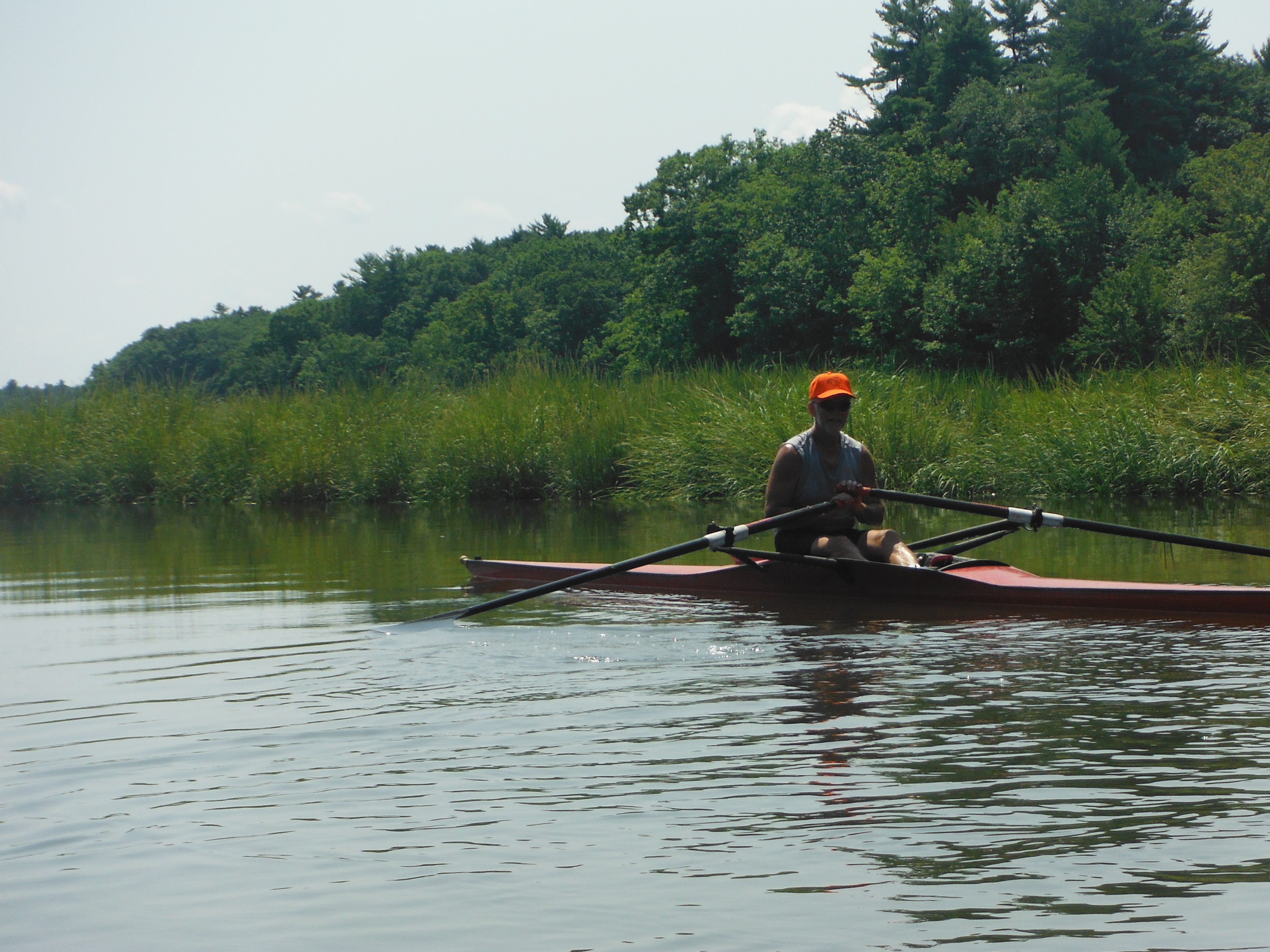
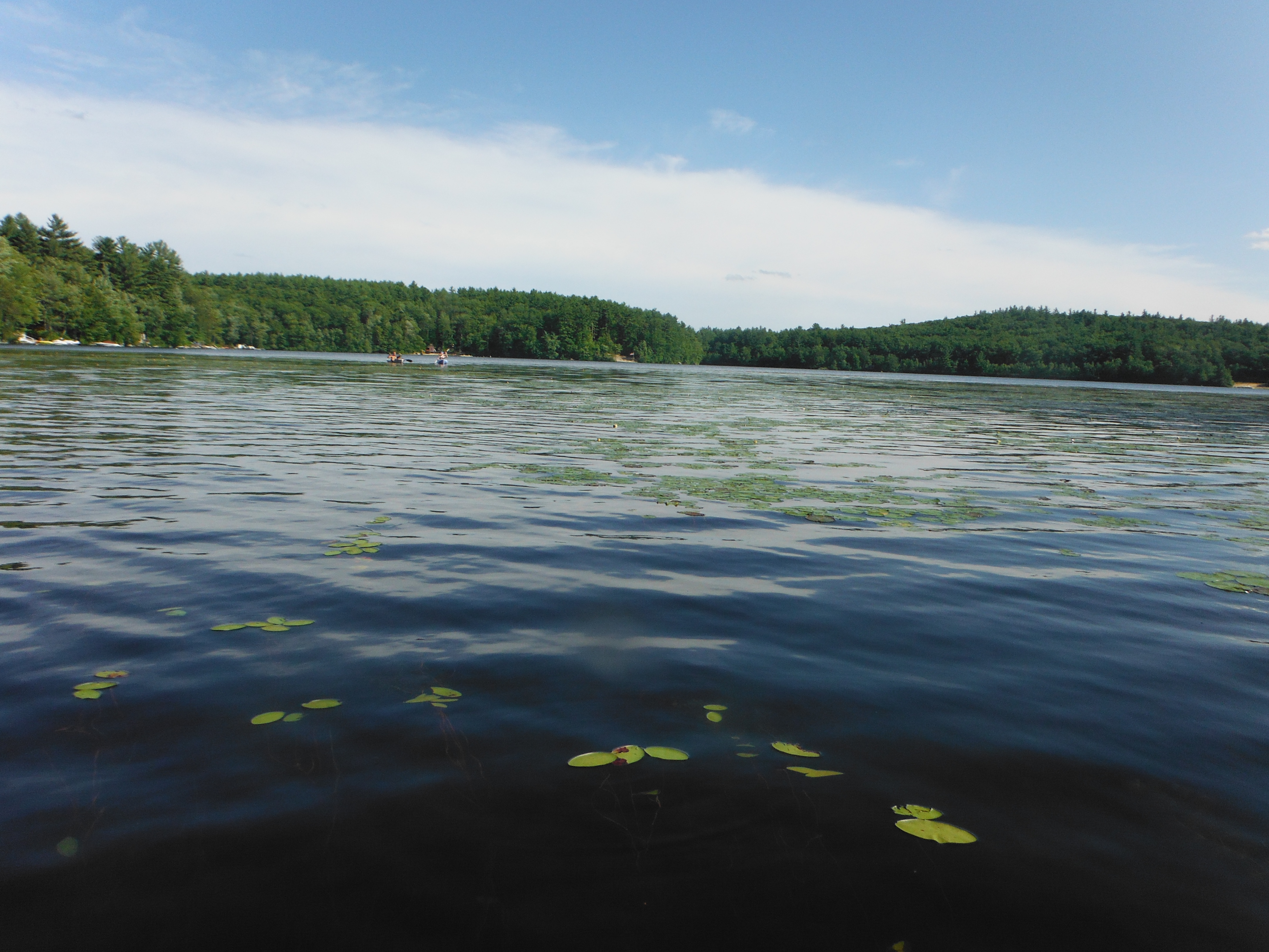
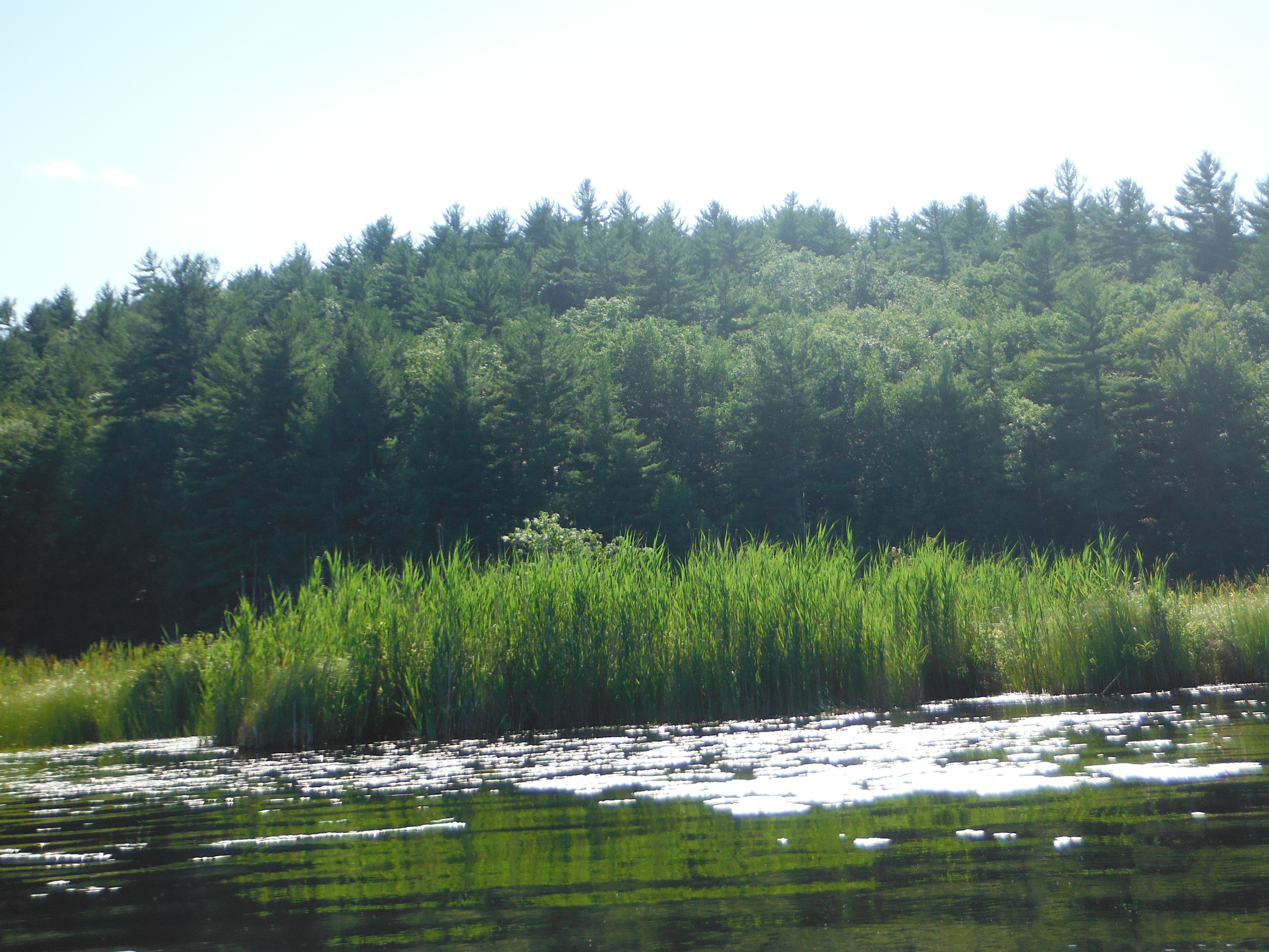
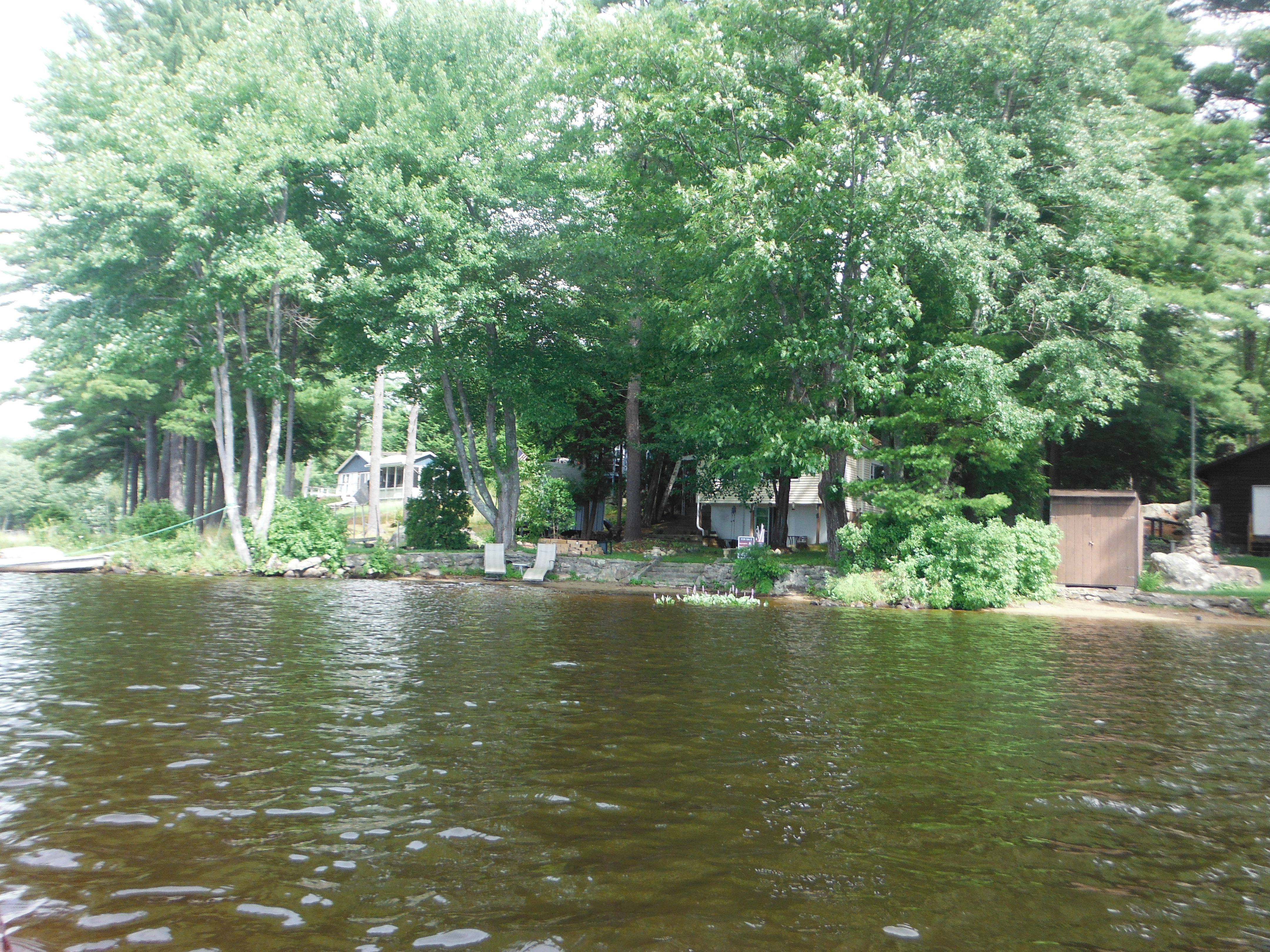
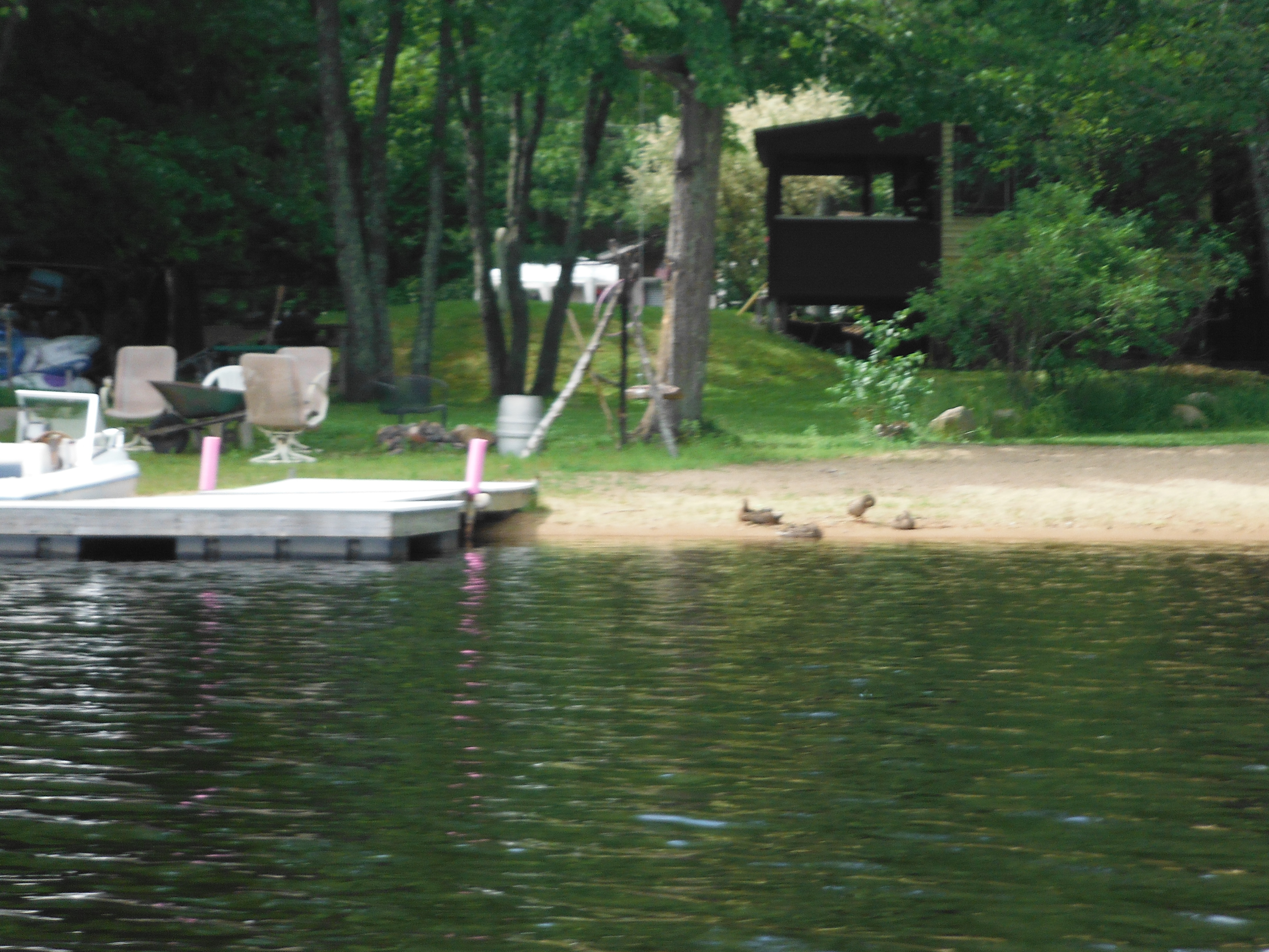
There was a good place to park along route 1A on the Seabrook side of the channel.  I let in the kayak there and took off.  I went up the river.  It was beautiful.  I saw some majestic houses to my left.  On the other side of the channel I saw grassy marshland full of Red-wing blackbirds, herons  and other birds.  It was a nice trip.  I had the channel to myself.

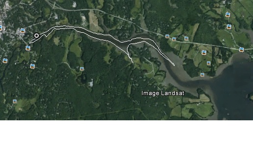
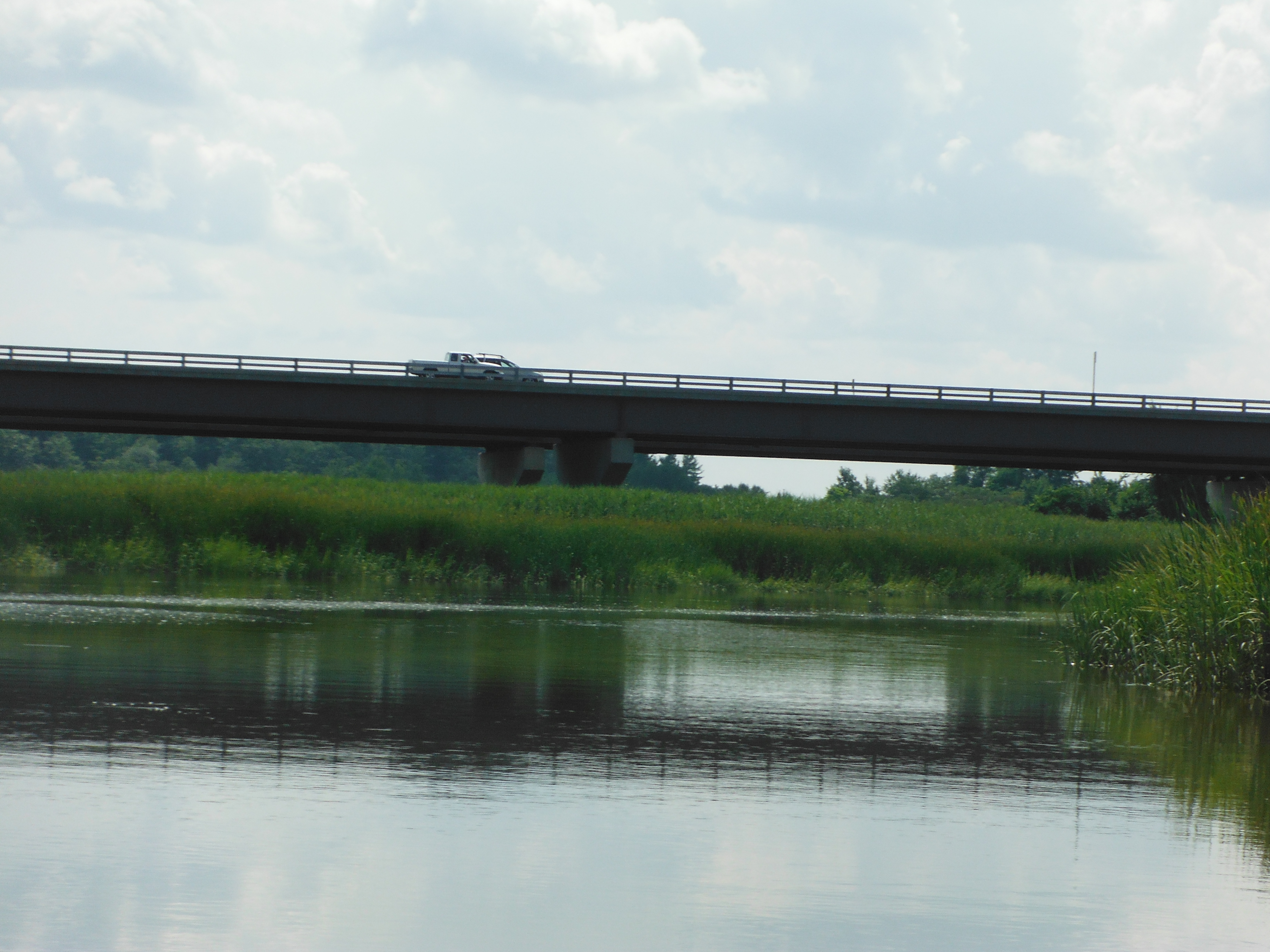
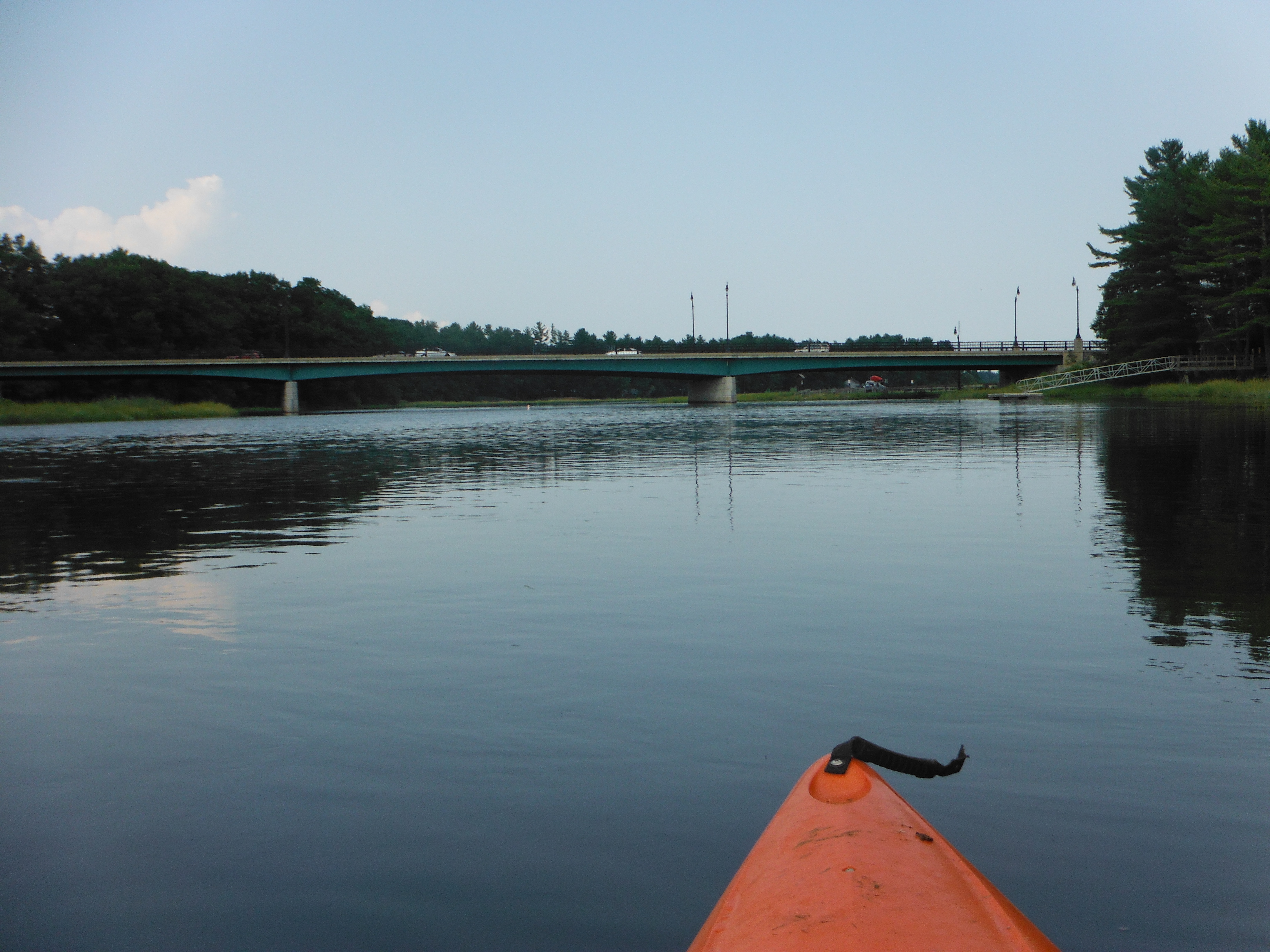
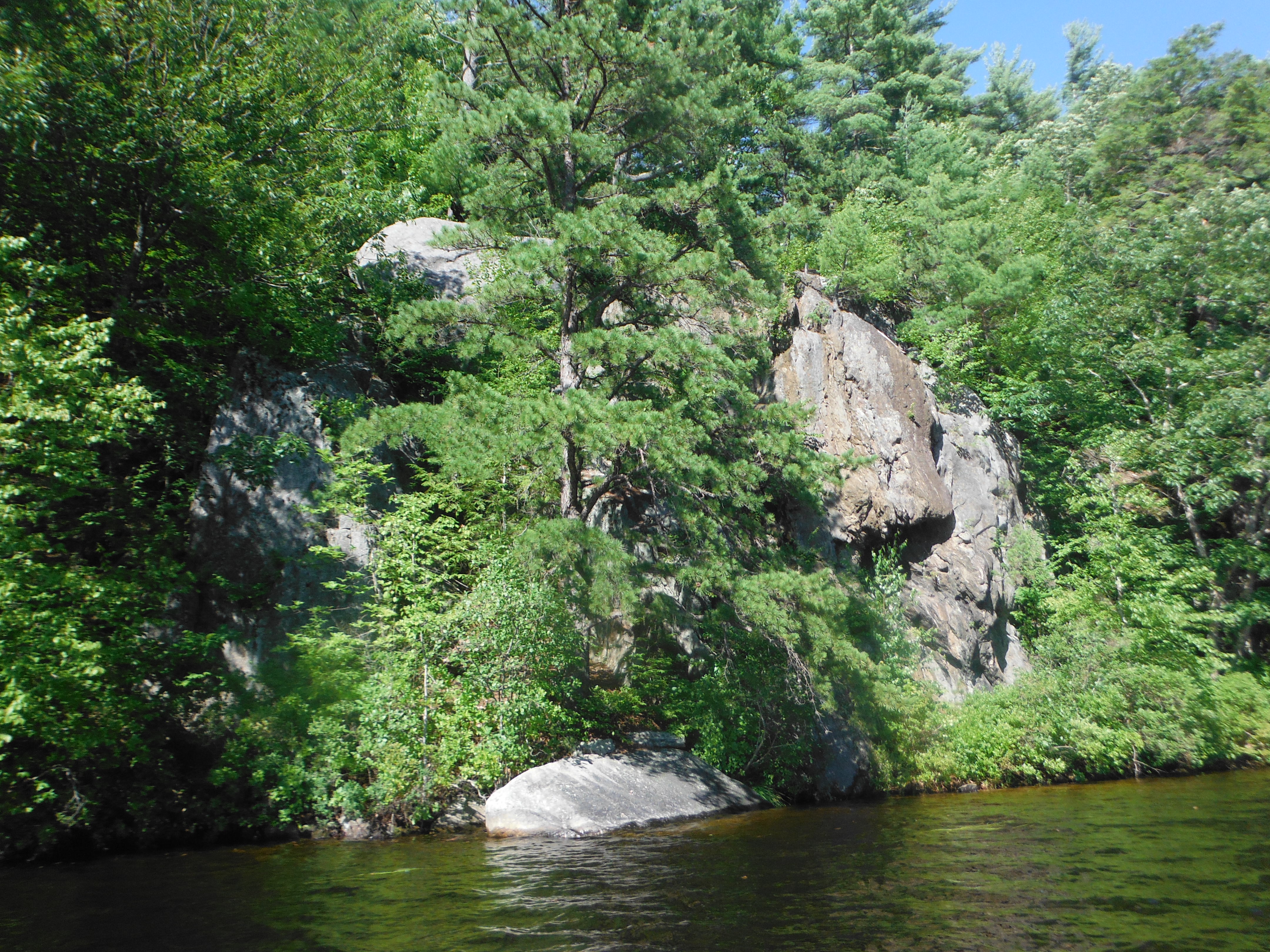
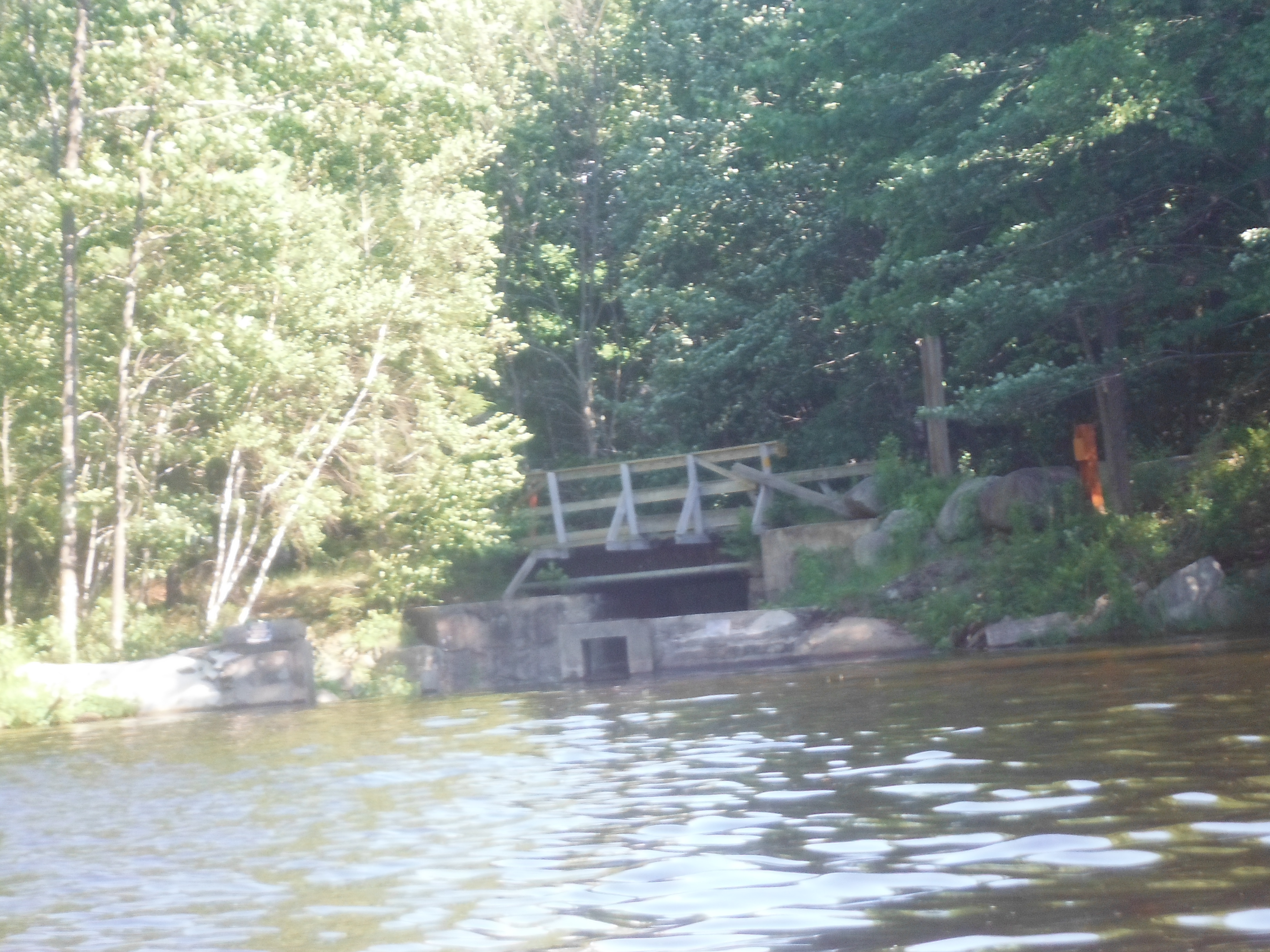
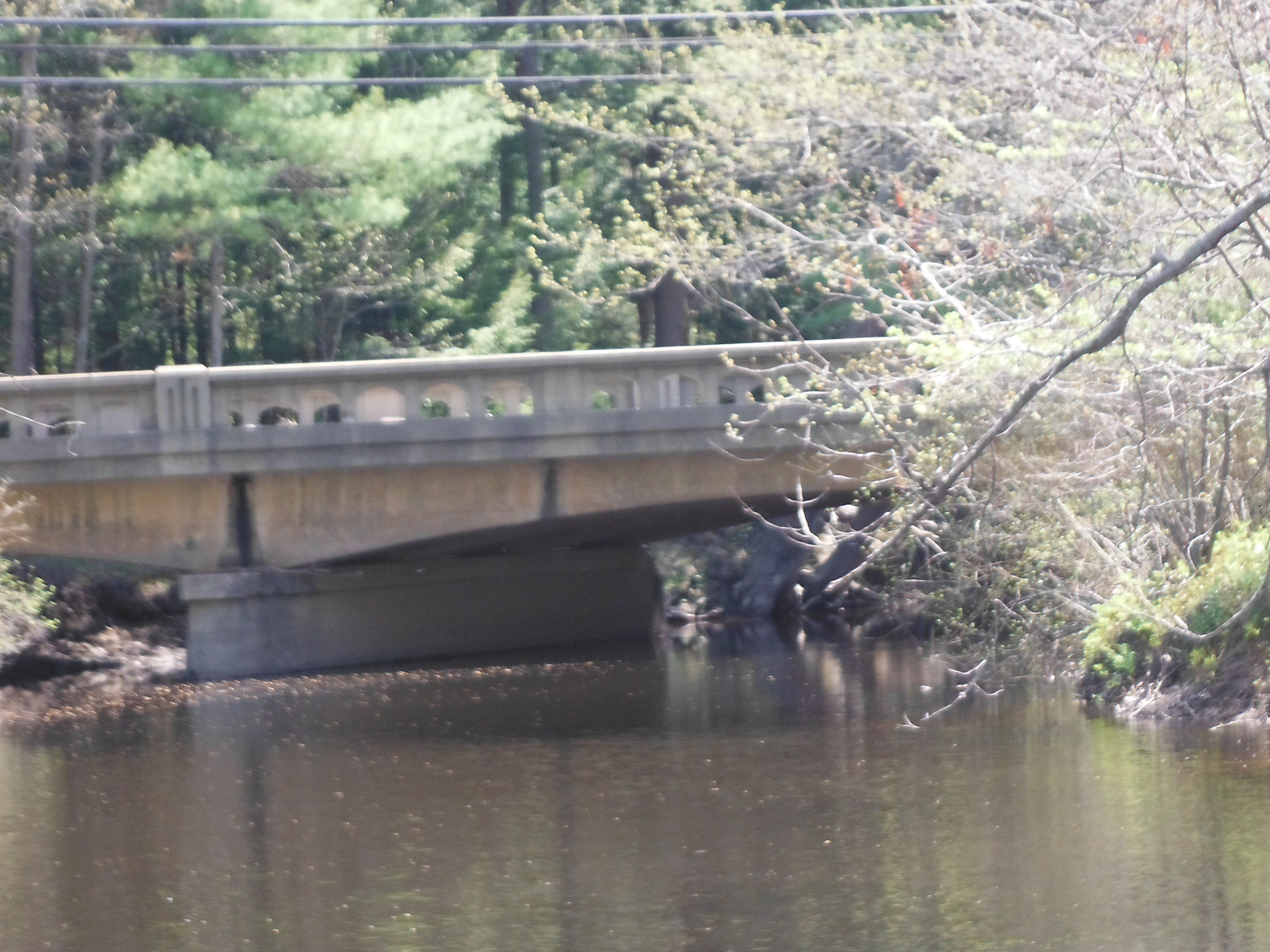
Soon there was a choice of whether to go to the left or right.  I wanted to go to Browns restaurant.  I took a right.  Wrong choice.  It was a scenic trip and enjoyed it.  I went to as far as I could go which was Route 286 and turned around.  When I got back to the fork I went the other was.  Soon I got to Browns and I could hear the loudspeaker yell out “Order 86 is ready for pick up.”   I continued on and saw under the bridge where it was too shallow.  Even when the tide was at it’s extreme height it would still be too shallow.

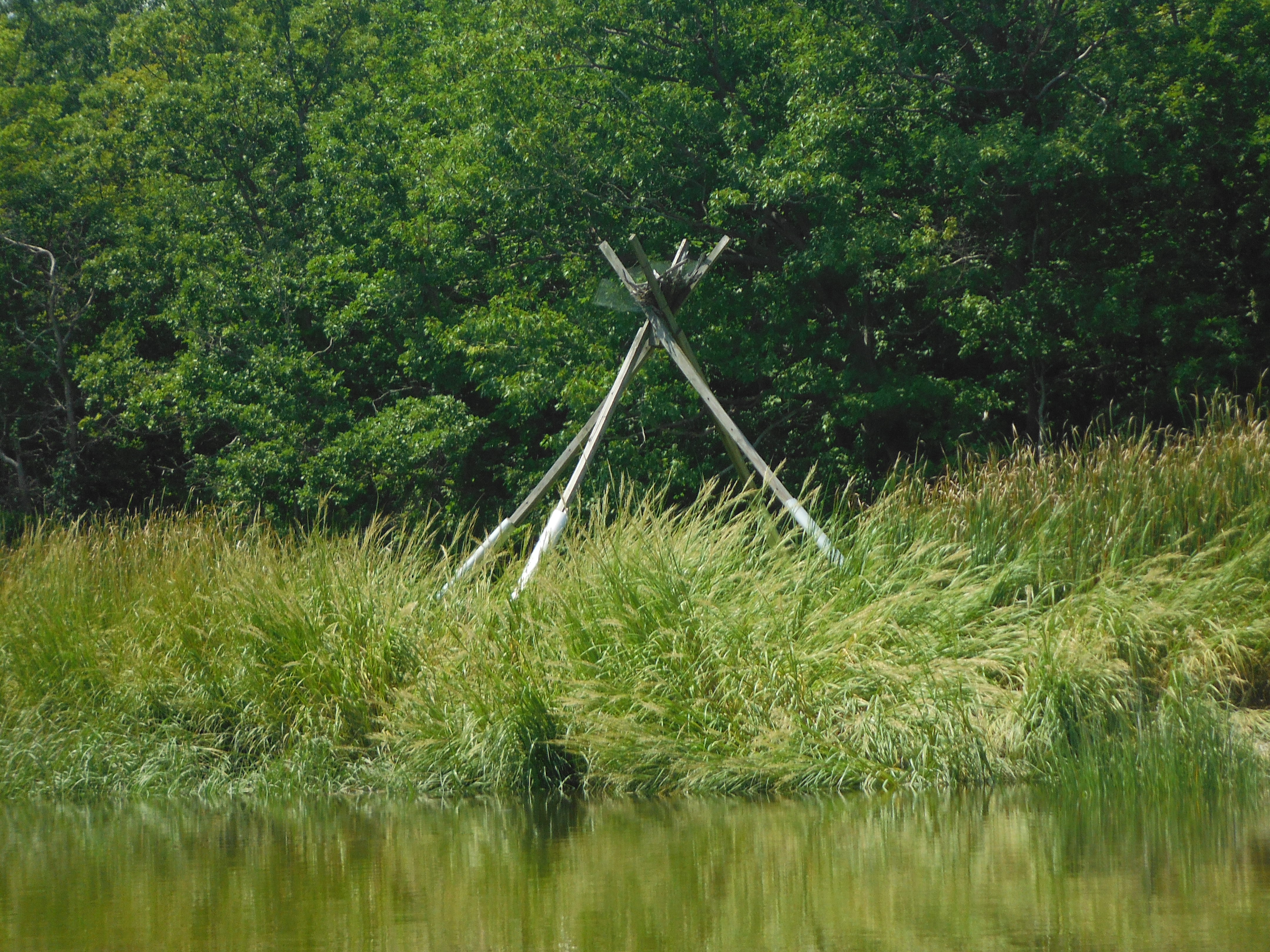
I headed back to the car.  It was easy since I was going with the flow of the tide.  At the entrance of the river I hit a submerged object.  It was metal.  It look like a runner that is used to drag the larger boat out of the water.  I backed up and went around.  I then concluded the trip at the same location I started out.  I had a good time.

This slideshow requires JavaScript.

DSCF0637
Getting ready to start


DSCF0638
One of the side trips
DSCF0639
Browns restaurant
DSCF0640
As far as I can go
DSCF0642
Open water prior to going into the marshland
DSCF0645
One of the homes adjacent to Hampton Harbor
DSCF0635
The beach from where I left


Kayaking on Lake Pawtuckaway

pawtuckaway862015

  • Date traveled – August 6, 2015
  • length of trip – 5.1 miles
  • weather – some wind, about 75 degrees no clouds
  • Time on the water- 2.5 hours

I have been wanting to kayak on this lake for a while. At first I thought that I would have to enter the park through the main entrance. The main entrance is on the south end of the lake. Through some investigation I found a simpler and more direct route to the lake on the northern end. I needed to go past the entrance to Nottingham town beach.

When I entered the parking lot there was not only a ramp to easily place the boat into the lake but there was a well maintained trail that led to the system of trails that the park has to offer. Only problem with this trail that although well maintained it leads one through a lot of marshland. So bring powerful insect repellent.

There is also an outhouse there at the parking lot.

Before I put the kayak in the water there was someone to inspect all boats for foreign vegetation. I was glad to do this. I have been on lakes that have been overrun by plants. It makes boating much more difficult. He said he had already found a few of those plants already that day. After inspection I was given the approval to enter.

I was with my brother-in-law that day and we were both anticipating a great time kayaking and we weren’t dissapointed.

DSCF0571DSCF0570

Kayaking the Oyster river

oyster92714
Map of trip
oyster92714google
Trip as seen in Google earth
  • Date traveled – Sept 27, 2014
  • length of trip – 5 miles
  • weather – calm, about 75 degrees no clouds
  • Time on the water- 2 hours

I was in the need for some kayaking.  This summer was brutal when it came to my schedule to get out in the water.  Today was perfect.  The weather was perfect and there were no commitments.  I looked at the map to see where I haven’t gone before.  What stuck out was Oyster river in Durham.  I saw on the map where one can put in a kayak.  I had tried to find it before but without any luck.  This time I found it.  It was a nice park near UNH.

I put in the kayak there.  There was a group of people there that lost their Frisbee in the river.  I went out in the water, picked it up and threw it back to them.  I went upstream to look at the dam and then immediately went downstream in the direction of Great Bay.

Both sides were woods with some high class housing.  All around me small fish were jumping.  This usually means that there are bigger fish scaring the small fish out of the water.  I wish I had a fishing rod.  A ways down the was a path to follow in the kayak.  It was a little longer than 1/2 mile and there were reeds on both sides.  I traced my steps and started back on the river.

I continued down the river until Great Bay was in front of me.  Then had a panic attack.  Did I lock the car or not.  I went back.  The car was locked.  I put the kayak into the truck and took off.  As I was kayaking I saw another place to let in the kayak so I looked for that.

Sure enough there was Jackson point.  There was a boat house where UNH stored their skulls for crew.  There was also a kids playground and a skating rink.  I did not know any of these places existed.  It was a great time all around.

This slideshow requires JavaScript.

DSCF0065
Obelisk along side of the water
DSCF0064
Sharing the river with kayakers in training
DSCF0063
Side trip
DSCF0062
Metal statue of a fish skeleton
DSCF0061
House at a point surrounded by water on 3 sides
DSCF0055
Bridge by UNH

DSCF0049 DSCF0057 DSCF0058

Stonehouse pond

Map of trip
Map of trip

stonehouse82914google


  • Date traveled – August 29, 2014
  • length of trip – 1 mile
  • weather – slight overcast, strong breeze
  • Time on the water- 30 minutes

I was out exploring for a place to let in my kayak.  I tried the Isinglass  river but the water level was too low.  I tried a few small lakes close by.  All was unsuccessful.  So I explored.  I found a road where the map showed where there was no road.  I did find a launch that the map showed was in the middle of the woods at the end of a road that allows only one car moving down the road at one time unless one of the car pulled off to the side of the road.    The road was about a mile long.

When I got to the end I saw a small pond with hikers and people on a nearby rock having lunch.  There was not a single house on the pond.  On the other side of the pond was people doing rock climbing.  I put the kayak in the water after carrying it only 50 feet.

The water looked clear and felt warm.  I took the kayak around the lake.  It was short but one of the nicer excursions in the kayak.  When I got back it was nice.  I asked local people people if there was fishing and they said there was some fly fishing.  It was a great time in the wilderness.

This slideshow requires JavaScript.

Getting ready for the trip

Getting ready for the trip

view of the water
view of the water
DSCF3020
More of the lake
People doing rock climbing
Beaver house
Beaver house
more view of the lake

Kayaking down the Hampton River

My Trip
My Trip
4112011hamptongoogle
Trip as seen in Google maps
  • Date traveled – April 11, 2011
  • length of trip – 3.8 miles roundtrip
  • weather – slight overcast, little breeze
  • Time on the water- 2 hours

It was the start of a new season for kayaking.  It was my second year with the kayak.  This winter a decision was made to start documenting my trips.  It would not only be for me but other people who want to experience the water also.  I went to fantastic place to lanch.  It was in Hampton Falls at the end of Depot rd.  There was no one else on the water.  Hampton river exists only on maps.  It is really a tidal area shaped like a river.  The tide was slowly going out.  On the right side we saw the Nuclear plant, an observation blind and some structure that  I don’t have a clue what it is.  As  got closer to Hampton Harbor the tide became swifter.  I turned around as I approached Hampton Harbor.  I had to row against some swift current.  It quieted down as I approached the finish line.  I smelled a fire burning as I neared the end.  I love smelling the scent of burning wood.  This was a great start of the season with more trips to come.

Start of a great trip
Don't have a clue what it is
Don’t have a clue what it is
Nuclear plant
Nuclear plant
Nest for a large bird
Hampton Beach
Hampton Beach
Hampton Beach
Hampton Beach

Kayaking the Lamprey river to Great Bay

8122014lamphrey
My journey
8122014lamphreygoogle
Journey as seen from Google maps


Date traveled – August 12, 2014
length of trip – 3.1 miles
weather -Sunny, about 80 degrees.
Time on the water- 1.8 hours

I have been wanting to do this trip for a few years.  I decided now to do this trip.  The place to let in the Kayak is in New Market center.  There is great parking there.  There were people fishing at the wharf there.  No one was catching anything.  I did see an abundance of small fish there.  Where there is small fish there is usually big fish.    When I left I notice that the terrain was like a miniature Fjord.  With the exception of where the town buildings where on both sides of the river there were steep inclines covered with trees with some rock outcroppings.

As I started the journey I noticed a sign on the other side of the river designating a conservation area.  The hills on both sides of the river was directing the wind from Great Bay against me.  The view from the kayak were beautiful.   I saw a number of ducks and cormorants all around me.  They were friendly.  As long as I did not make any sudden mores, the birds were not scared off.  I continued down to Great Bay.  I was the only one in the river.  As I got closer to Great Bay the waves got bigger and the wind became stronger.  Looking around it was all woods with some clearings and a few houses.  With the exception of those houses it seemed that I was in the middle of a small wilderness.

I started heading back.  I made good time with the wind in my back.   From the water one can see a new prospective of the personality that Newmarket has.  Past the drop in point I could see the dam that years ago provided power to the industries.  The river I just was on was the way the boats came up from Portsmouth for trade.  This land has much history to it.  I got off the boat, put it into my truck so  could have a leisurely walk through the town.

This slideshow requires JavaScript.

Aerial view from Google maps

Conservation area at start of journey

Conservation area at start of journey

DSCF2949
Stairway from the conservation area
DSCF2940
House along the side of the river
DSCF2950
House along the side of the river
DSCF2946
Birds observing me from tree
DSCF2939
A flock of Cormorants
DSCF2938
Ducks
DSCF2941
View of Great Bay from the river
DSCF2948
Newmarket
DSCF2947
Coming into Newmarket
DSCF2951
Macallen Dam
DSCF2937
Back to the beginning

Kayaking down the Squamscott River

sqamscott81114
My journey
Squamscottgoogle81114
My journey as seen on Google maps

Date traveled – August 11, 2014
length of trip – 10.4 miles
weather -Sunny, about 80 degrees.
Time on the water- 6 hours

I have kayaked on the Squamscott River before and love it.  There was fish jumping on both sides of me, saw Blue Heron, Osprey, Hawks and other assorted wildlife. I saw someone who had previously came early in the morning where she saw moose and deer on the shore.   There would be all sorts of surprises considering a large portion of side of the river is conservation areas.

The place to put the kayak in the water is top notch.  I put the kayak in the water two hours before high tide.  I understand that this is the best way to traverse this river.  The tide coming in help the trip up to Exeter.  When you get to Exeter the tide going out will help you get back.  What I experienced was that if I had left one hour earlier(three hours before high tide), walked around Exeter for 2 hours and then headed back would have kept me from experiencing the calm in the transition between the tide coming in and going out.

I enjoyed it the way I did it. The trip was beautiful.  The waters were calm.  On one side there were beautiful houses all with their different character.  On the other side was conservation areas.  I saw (and smelled) a farm.  There was an ingenious method on making an Osprey nest by making a tripod.  I saw very few other boats.  Most of the time I had the river to myself.  There was an island in the river where I saw boaters docked and went swimming.  I can never get tired going under a bridge.  Route 101 had a majestic span.  Past the bridge was a water treatment plant.

After that was Exeter.  Exeter is a quaint city with a lot of personality.  There is history, scenic areas, quaint shops, good restaurants and a nice place just to walk around.  I saw a place to take the kayak to get off and explore. To see Exeter from the harbor was a unique to see the personality that a town like Exeter had to offer.  I then started back.  If took a while until the tide was in my favor.  It was just as beautiful going back down the river as going up.  I reached my starting point and got out.  It was a great trip.  I need to do this again except early morning.

This slideshow requires JavaScript.

Starting out on River
Lone Oarsman
Lone Oarsman
Example of house along the river
Osprey birds nest
Osprey birds nest
Down eastern train track
Side trip
Side trip
Route 101
Route 101
Blue Heron
Blue Heron
Sailor
Sailor
Rotunda in Exeter scenic area
Exeter Docks
Exeter Docks
Exeter
Exeter
Exeter
Exeter
Exeter Harbor
Exeter Harbor
Behind bridge is A dam that holds back the Exeter river
Exeter
Exeter
Precaution sign by water treatment plant
Young person jumping in water and swimming
Farm
Farm
Route 108 Returning Designation

Onway lake

July102014onway july102014onwaygoogle

Date traveled – July 10, 2014
length of trip – 2.1 miles
weather -Sunny, about 80 degrees.
Time on the water-50 minutes

This was my second lake of the day.  While the first lake had problems parking, this lake had a place set aside by New Hampshire Park Department.  When I got on the lake, I did not see many large boats on the different docks like I saw on the other lake.  On the lake there was an island.  On one side it was  shallow with weeds.  It looked like one could walk from the shore to the island without swimming.  I was told that there was a pair of loons that had babies but didn’t see them.  It was a nice relaxing time going around the lake.  There was a number of rock crop ups along shore.  It was not a crowded lake.  When I got to the end there was a fisherman.  He was going out.  He said that he had always had good luck fishing here.  He said the biggest that he caught here was an eight pound large mouth bass.  All together it was a good time on this lake but I was getting hungry for supper.

DSCF2637 DSCF2638 DSCF2639 DSCF2640 DSCF2641 DSCF2642 DSCF2643 DSCF2644 DSCF2645

Governor’s Lake

July102014governers
Governors Lake
July102014google
Governors Lake

Date traveled – July 10, 2014
length of trip – 1.4 miles
weather -Sunny, about 80 degrees.
Time on the water-40 minutes

That day I was looking for a place to go kayaking that I never heard about before.  I scanned the map and found three places.  One place was on the Lamprey river.  The dam that held the water back to make the water deep enough was recently removed so I then went to Governors lake.  It seemed like a nice lake.  When I found the place according to the map to to get on the lake, there was a sign that said that it was deeded property and only townspeople can use that property.  I continued going around the lake and found another place to launch the kayak but it had the same sign.  Two lots down I saw a location to launch but the only sign was not to bring in any foreign weeds.  I always inspect my kayak before every launch for weeds.  Although there was no signs saying I could launch  there there was no signs saying I could not.  I put the kayak in the water hoping nothing would happen to the car.  As you can tell I had a bad first impression of the lake.  It did not improve as I went around the lake.  There was a number of large boats docked on the side of the lake.  I can imagine on weekends how crowded this lake must be.   I continued going around the lake and saw a number of upscale cabins or houses on the side of the lake.  I finally got back to the end.  The car was alright.  I was ready to try the next lake – Onway lake.

DSCF2627 DSCF2630 DSCF2629 DSCF2628 DSCF2635 DSCF2634 DSCF2632

Kayaking down the Exeter River

Road map of trip
5122014exetergoogle
Look at trip through Google maps

It was a long hard winter.  I was overdue for a kayak adventure.  There was 4 places I set aside for spring time.  3 of the locations are dependent on the tide.  I tried this location last year and found the trail to put in the kayak was covered with poison ivy.    This year there was only a few plants but not overrun like last year.  The kayak needed to be carried about 50 yards until a suitable spot to let in the kayak was found.  As I went into the kayak, I slipped on some mud and got soaked.  My camera, GPS and my cell phone all wet.  They all seemed to still be working so I started my journey.  A side note- the water felt pretty warm even though ice out was only a month earlier.

I started down the river.  Although the water level was higher than normal it was still a nice slow pace.   Both sides of the river had character.  Some parts were woodland and some parts were brushes.   On the left I came across a campground.  There were campers even in mid may.  I could smell campfires burning.  It brought back pleasant memories of the times I used to go camping.  One person yelled out saying she wishes she was out on her boat.  As I passed under a large fallen tree another person said they heard a crack indicating the tree was ready to fall even more.

There was a sound of the boat brushing over a log.  The log was a few inches under water where it was hard to see.  I saw an error in my camera.  It seems my waterproof camera had a small leak and water was interfering with its operation.  I opened the battery portion and wiped down the batteries and the memory card.  When the camera was put together it worked flawlessly.  The GPS also started failing.  Kept getting a continual beeping sound.  I did not want to disturb the GPS keeping my progress so I let it keep beeping.  Sure enough at the end of the trip I took the GPS apart, wiped it down and put it back together.  It worked perfectly.  When I downloaded the information into my computer it was like there was any problems.

Getting back to the story, I continued my trip down the river until there was blockage preventing me from going further.  I turned around.  The sights were still enjoyable to see on the way back.  The was a pair of ducks going through the brushes.  There were other birds around.  I went past the location where I put the kayak in and was able to go up the river an additional quarter of a mile.  I went back to the location and took the kayak out without incident.   My cell phone will never be the same.

This slideshow requires JavaScript.

DSCF2398 DSCF2399 DSCF2397DSCF2400  DSCF2405 DSCF2407