Date traveled – August 11, 2011
length of trip – 7.4 miles
weather – sunny, about 70 degrees.
Time on the water-2 hours 47 minutes
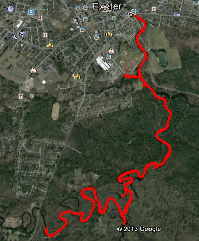
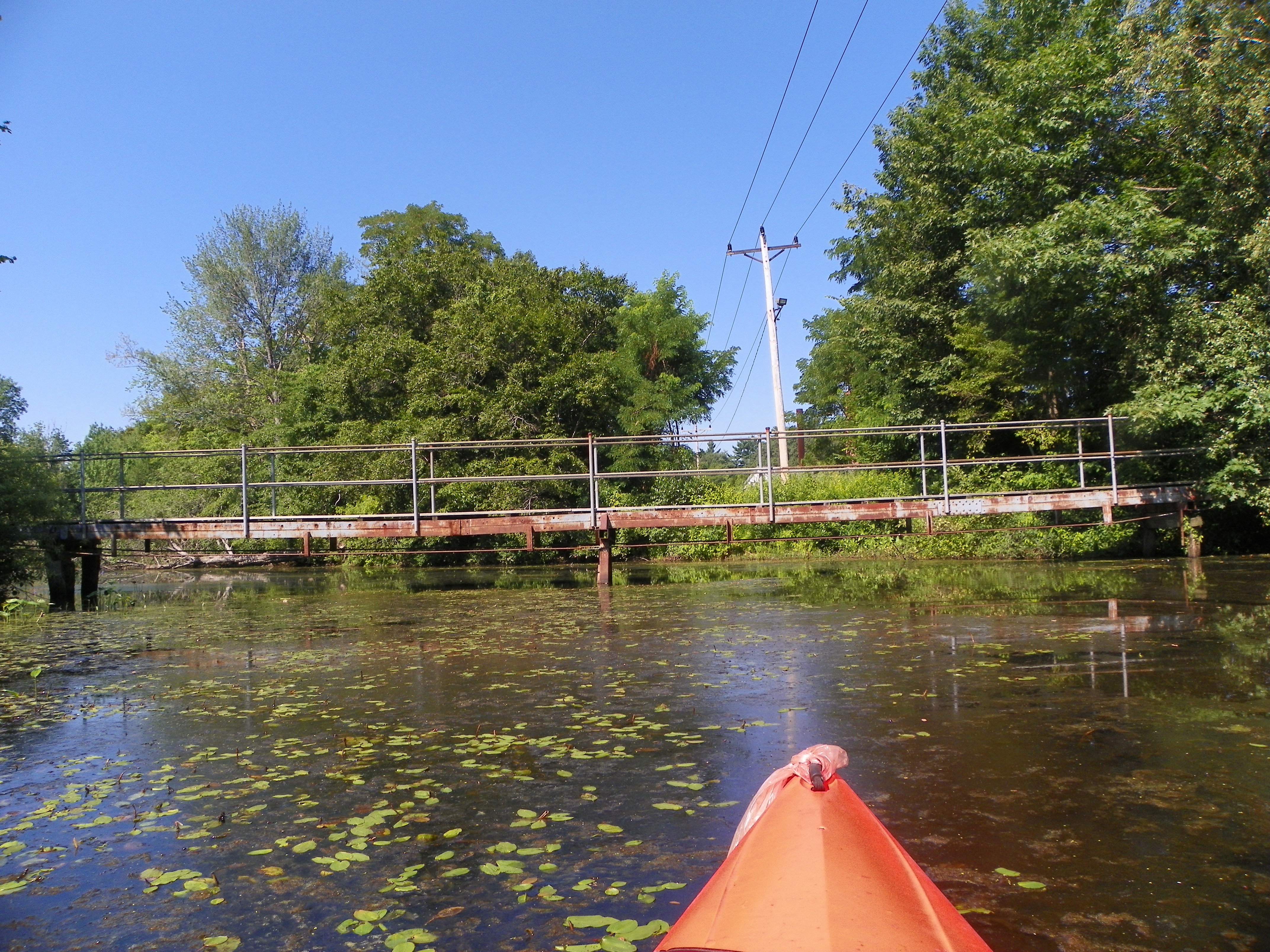
 Gilmore park in Exeter is a good place for a picnic, a walk in the woods, a baseball game and more. There is two 16th century cannons owned by the federal government and lent to Exeter. It also has a place where one can launch their boat on the Exeter river. Looking back I would have taken my GPS equipment with me for there is about a dozen geocache sites that can only be reached from the water. I launched the boat and went to the town. I could only go as far as the bridge for route 111. The dam leading to squamscot river was immediately downstream of the bridge and getting caught up by the current to the dam would have been disastrous. From there I went upstream exploring as many inlets as I could. I went under a foot bridge that Phillip Exeter students use to cross the river. There were many turtles along the shore sunning themselves on rocks and logs. They say there are fish there. I saw no evidence. There was an unusual looking rock. When I poked at it, I found that it was a snapping turtle floating in the water and sunning itself. On the other side , there was a rope hanging from a tree where people swung and jumped into the water.The journey began with the river being wide and stayed wide until the first right and then became narrow. At that turn straight ahead is a swamp. Going up the river there was a campground on the left. I could smell the campfires. I finally reached the end at a fallen tree going across the river. I could have made landfall and went around the tree. I was ready to go back. There is a place I can get into the water upstream to continue my journey. I turned around and finally made it back. I totally enjoyed the trip.