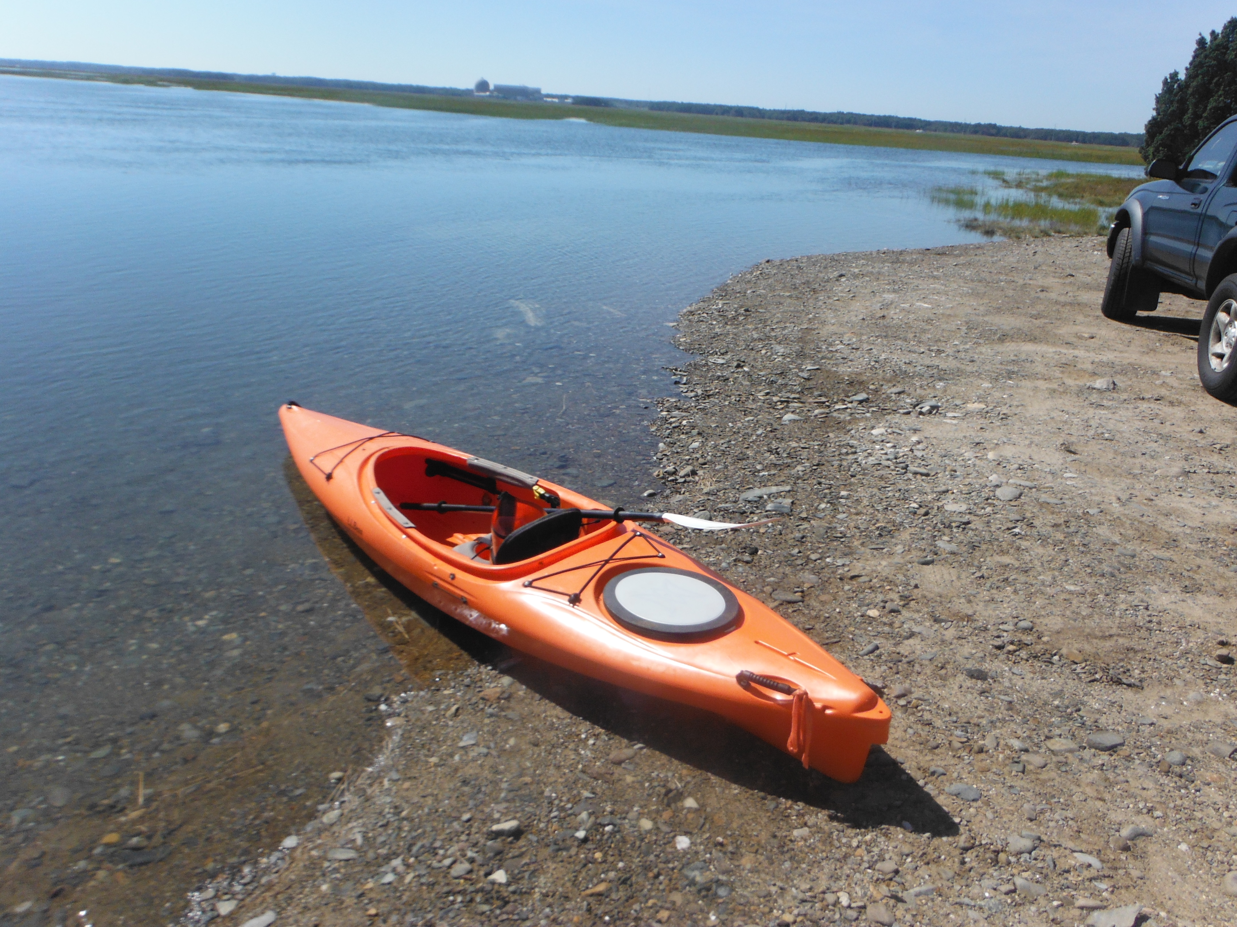
Date traveled – April 20, 2012
length of trip – 1.2 miles
weather -Partly cloudy, about 60 degrees.
Time on the water-30 minutes


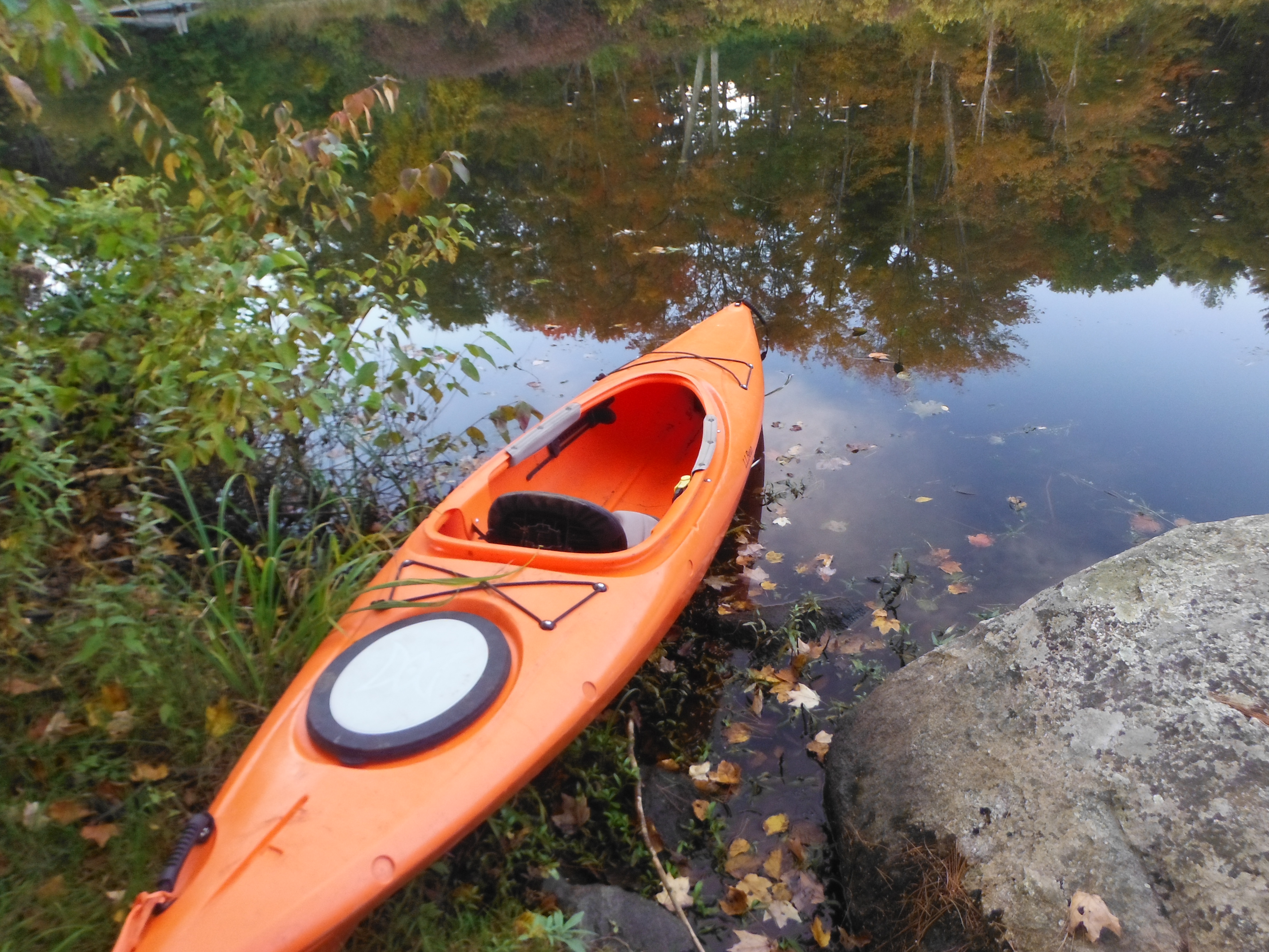
I started kayaking that day knowing that I was going to kayak on 2 ponds that day. That was Greenwood pond and Great pond. Both ponds are next to one another. I went to Greenwood pond first. My intention is to go to Greenwood pond first. I did not know where to launch the boat. I traveled up and down different side roads trying to find it. A friendly woman came out of the house and asked me why I was going up and down the roads. I told her and she took pity on me and allowed me to cut through her property. I did and launch the boat.
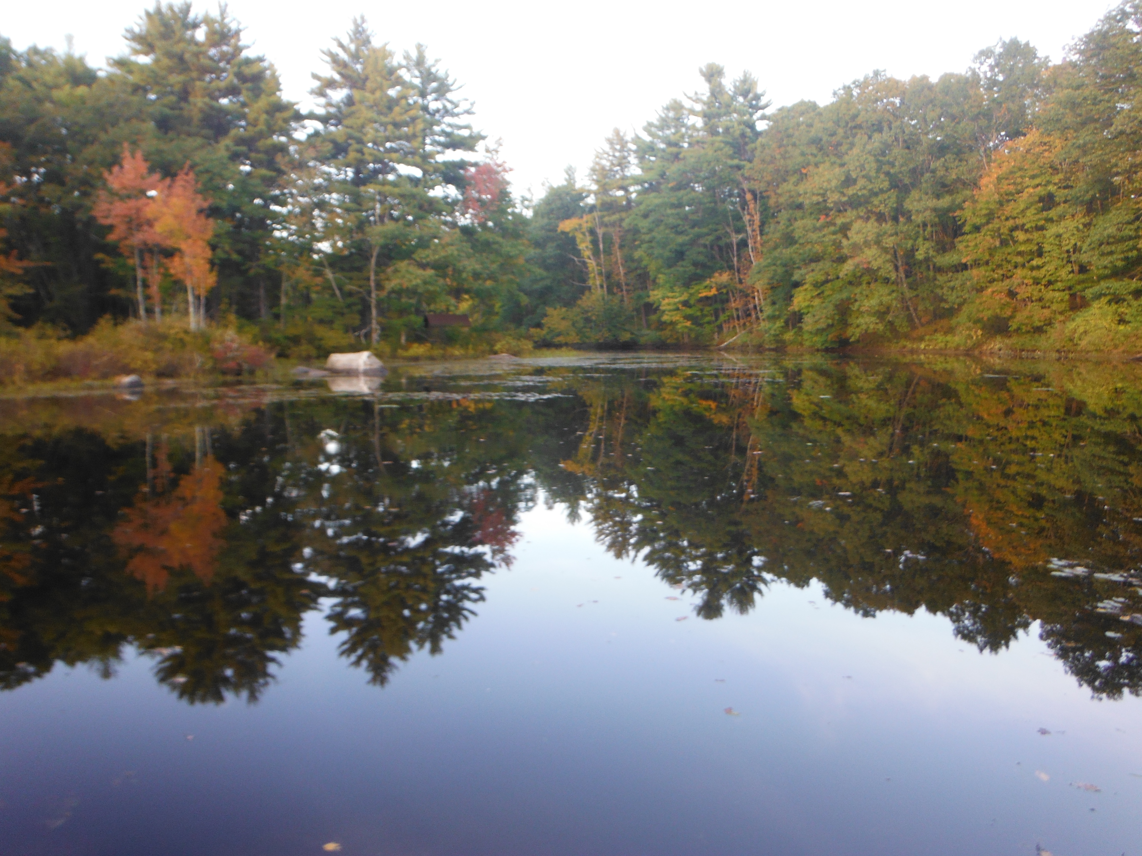
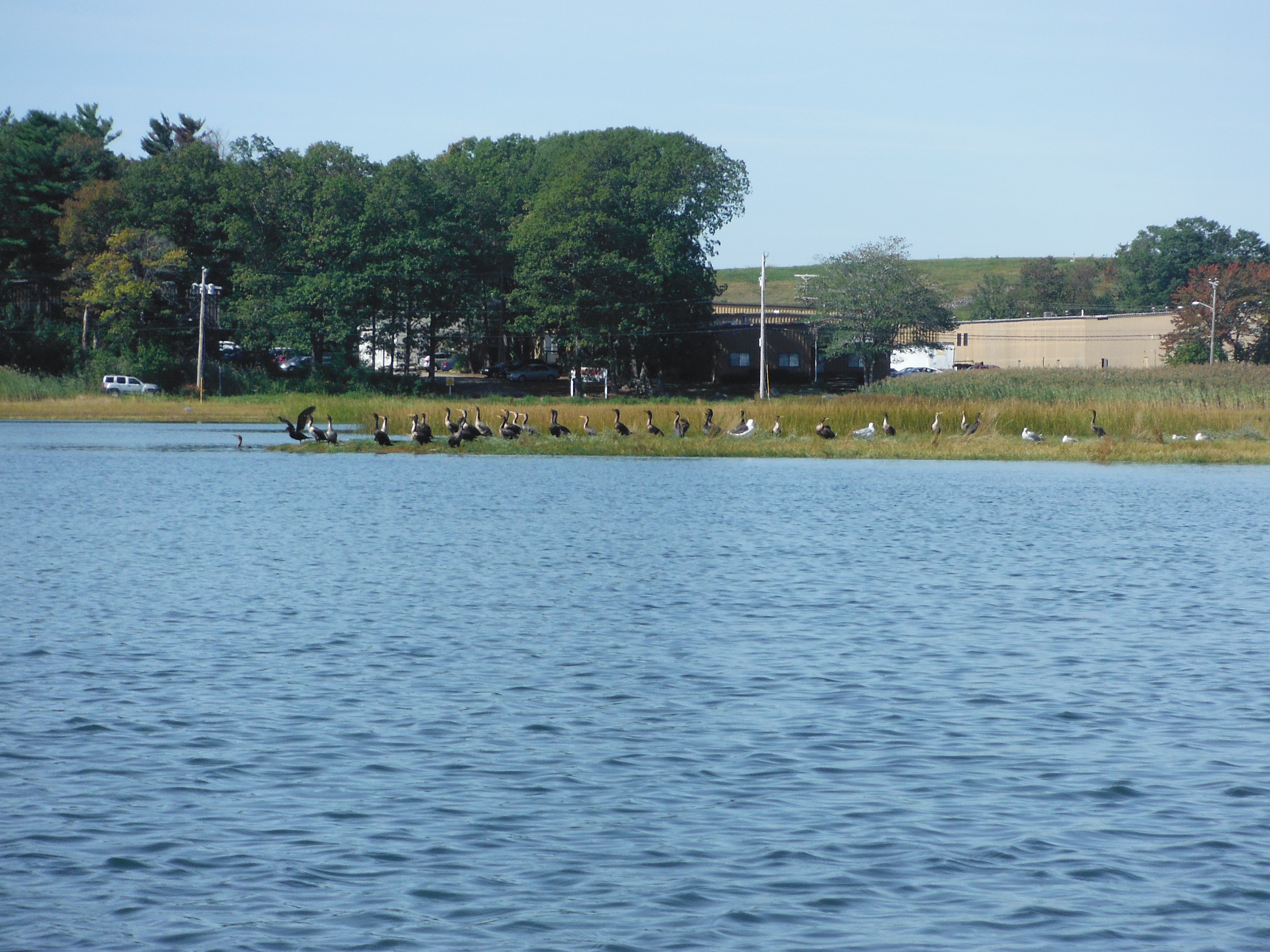
As I went around the pond, I saw evidence of fish. There was lots of small fish – Too small to identify. I know where there are small fish, there are bigger fish. I also saw a blue heron and other birds there. The other thing that I saw was a boat launching sight. It was at the end of an alley behind a church. It was hard to find driving around but easy to see from the lake. This lake although small was a great lake to go kayaking because of the wildlife and the amount of area not built up.
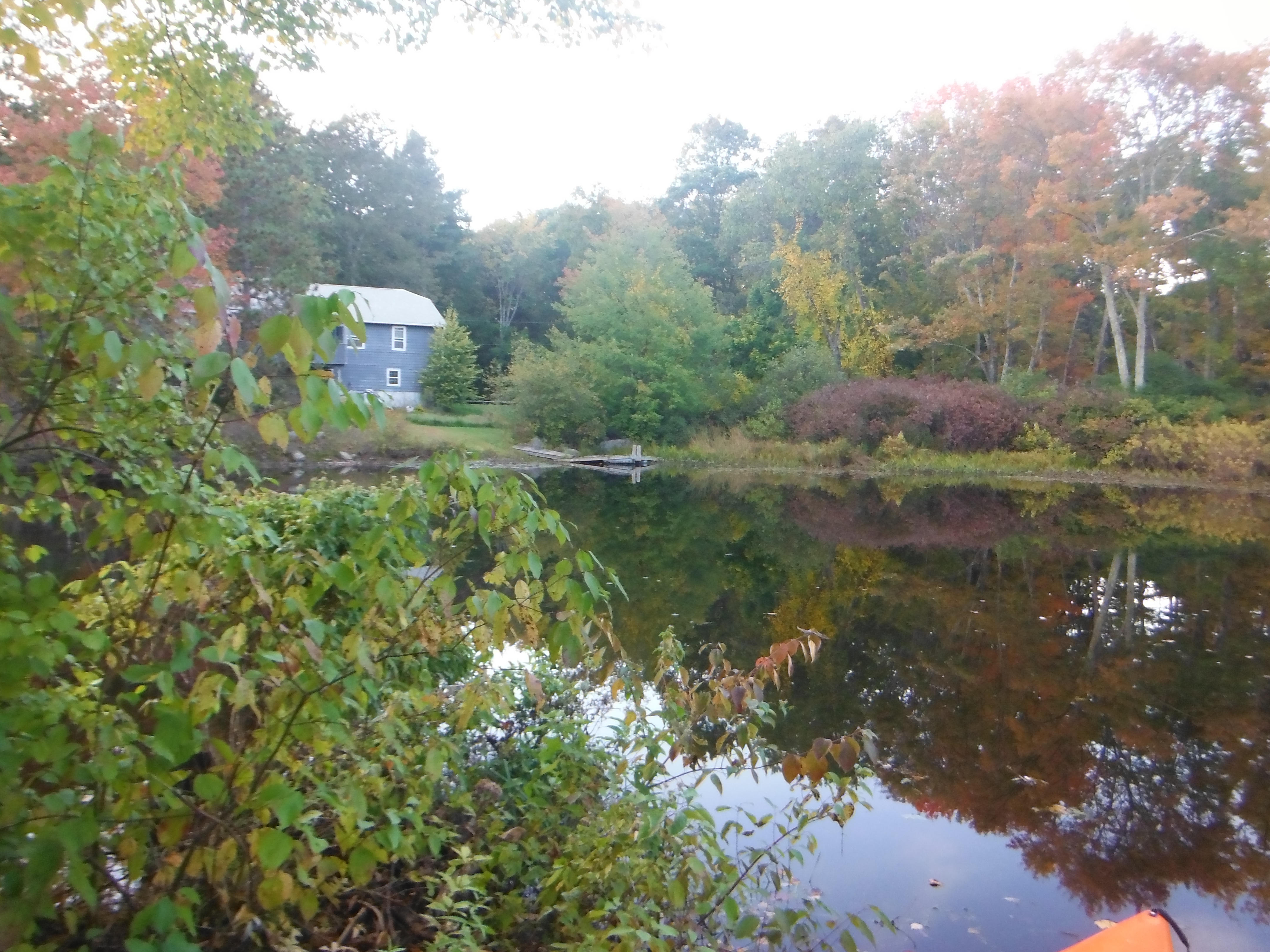
After I went around the lake I went to the house whose family let me put the boat in. I said my goodbyes and thank them. I then went to Great Pond to continue my adventure. I could not find the pictures that I took that day. I might have to travel that lake again.